Drought/Water Scarcity
Taxonomy Term List
GCF National Adaptation Plan project in Bhutan
Climate change is expected to bring a raft of changes to Bhutan, including long-term impacts such as rising average temperatures, reduced dry-season precipitation coupled with increased wet-season precipitation, intensified rainfall events, erratic rainfall patterns, and altered monsoon timings. Additionally, the country faces heightened risks of hydro-meteorological and geological disasters, including glacial lake outburst floods (GLOFs), landslides, earthquakes, river erosion, flash floods, windstorms, and forest fires due to climate-related factors.
The hydropower, agriculture, and tourism sectors, collectively contributing nearly a quarter of GDP in Bhutan, are significantly vulnerable to climate variability and natural hazards. In response, this project, supported by the Green Climate Fund (GCF), is dedicated to assisting the Royal Government of Bhutan in further advancing its cross-sectoral National Adaptation Plan process. The project's primary goal is to reduce vulnerability to climate change impacts by enhancing adaptive capacity and resilience. It seeks to facilitate the coherent integration of climate change adaptation into new and existing policies, programs, and activities, especially within development planning processes and strategies across various sectors and at different levels. This includes establishing a robust monitoring and evaluation system for effective implementation.
Despite significant socio-economic progress, Bhutan faces the potential reversal of gains due to the adverse impacts of climate change. Bhutan initiated its National Adaptation Plan (NAP) process in 2015, building on the 2012 National Adaptation Programme of Action (NAPA). The NAP project aims to align with Bhutan’s Nationally Determined Contribution (NDC) by accelerating medium- to long-term adaptation efforts, focusing on priority sectors, such as water resources. In addition, the project seeks to enhance Bhutan's NAP process by addressing challenges related to coordination, learning, awareness, technical capacity, systematic identification of adaptation options, and monitoring and evaluation.
National-level outcomes involve enhanced coordination, knowledge management, technical capacity for climate scenarios, vulnerability assessments, appraised and prioritized adaptation options, and the formulation of the NAP with capacity for implementation and monitoring established. These outcomes include both a comprehensive component on water resources and activities across other climate-sensitive sectors in Bhutan. Barriers to adaptation planning in Bhutan are being identified and addressed through the formulation of the NAP, while institutional frameworks and systems are being strengthened to enable long-term decision-making for climate change adaptation.
This initiative, led by the National Environment Commission Secretariat (NEC) in collaboration with various partners, builds on existing coordination efforts with UNDP and past adaptation projects, such as the GCF Readiness and Preparatory Support project “Strengthening the Capacity of NDA to access resources from the Green Climate Fund.” Mandated by Bhutan's environmental protection and water acts, the NEC’s central role is to ensure synergy with ongoing activities and prioritize adaptation options.
Project Updates
The NAP project has achieved significant milestones, including the successful publication of Bhutan’s NAP by the UNFCCC in September 2023, marked by strong ownership from the NEC and effective guidance from the Project Board and Technical Working Group. Additionally, the submitted NAP serves as Bhutan’s Adaptation Communication under the Paris Agreement. The NAP draft was presented to officials from all 20 districts, central-level agencies, development partners, civil society, private sector, and academia. A NAP implementation progress report was also produced aiming to inform the government, public, and international community about Bhutan's advancements in climate change adaptation.
The objectives of Bhutan’s NAP process are to:
1. Ensure a continuous, progressive, and iterative process to assess the vulnerability and adaptation needs across all sectors and levels in Bhutan recognising the special needs of vulnerable groups through the National Adaptation Plan process.
2. Promote the integration of climate change adaptation planning and implementation of adaptation actions into national and local level plans where possible.
3. Enhance the climate information and knowledge system to support a long-term, iterative process of adaptation planning and implementation.
4. Assess progress in adaptation including measurement of resilience and to climate change.
Project activities have made significant strides in establishing institutional arrangements, stakeholder mapping, and drafting NAP protocols and guidelines. Bhutan has successfully conducted capacity assessments, participated in global events, and developed data management protocols and a climate platform. Activities like stocktaking of climate information, vulnerability analyses, and sector-specific training programs have contributed to increased awareness and improved capacity. Notably, climate training sessions were conducted for mid-level civil servants in all 20 districts and 205 local governments and a report on climate change vulnerability analysis and mapping was compiled to evaluate vulnerable regions.
The NAP has actively incorporated insights from past vulnerability assessments, ensuring a thorough understanding of sector-specific vulnerabilities across Bhutan, including those from the Third National Communication (TNC) to the UNFCCC and various sectoral reports. This has supported sector prioritization and climate risk assessments on agriculture, health, forests and biodiversity, energy, and water resources. This includes a comprehensive assessment of groundwater in Sarpang District and preparations for the GEF-LDCF Urban Resilience Project, with a focus on Thimpu and Paro areas, addressing a mix of hard and soft adaptation priorities outlined in the NAP. Three key proposals have concentrated on green infrastructure for Thimphu City, web-based meteorological services, and a hydrological system for flood forecasting and early warning services, further contributing to Bhutan's robust approach to adaptation planning and capacity-building initiatives.
Outcome 1: Enhanced coordination, learning and knowledge management for an iterative NAP process.
Outcome 2: Technical capacity enhanced for the generation of climate scenarios and impact assessment.
Outcome 3: Vulnerability assessments undertaken and adaptation options prioritized.
Outcome 4: NAP formulated and capacity for implementation and monitoring established.
A milestone in Bhutan’s journey to adapt to climate change
Bhutan launches a new $8.9M project to build climate resilience of its water sector
Bhutan launches its first National Adaptation Plan
Safeguarding Bhutan's water in the face of climate change
NAP Expo 2023: What we heard on scaling up implementation of...
Bhutan pursues climate resilience with National Adaptation P...
Facing climate change challenges in the Kingdom of Happiness, Bhutan
Exposure: Advancing climate adaptation in Bhutan
Bhutan's climate ambition: showcasing leadership, delivering inclusive action
Exposure: At one with nature: Towards climate-resilient people, forests and wildlife in Bhutan
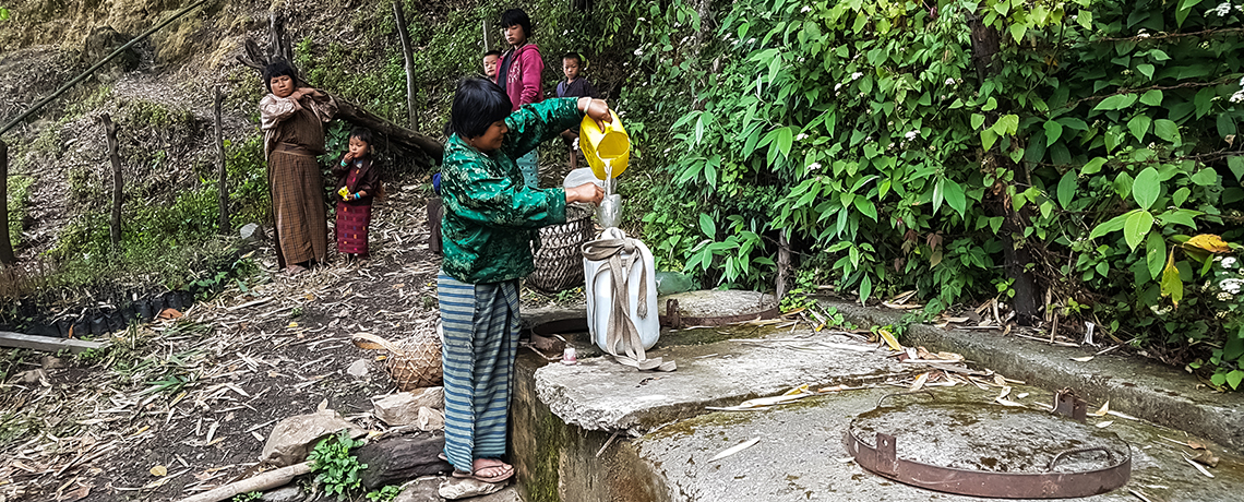
Increased Resilience to Climate Change in Northern Ghana Through the Management of Water Resources and Diversification of Livelihoods
The main objective of the 'Increased Resilience to Climate Change in Northern Ghana Through the Management of Water Resources and Diversification of Livelihoods programme (2015-2022) was to enhance the resilience and adaptive capacity of rural livelihoods to climate impacts and risks on water resources in the northern region of Ghana. The objective was achieved through key results centered on the improvement of water access and also increase institutional capacity and coordination for integrated water management to support other uses of water resources especially for the diversification of livelihoods by rural communities.
The programme targeted the three regions in the northern part of Ghana: the Upper East, Upper West and Northern Regions. Compared to other regions of the country, these three northern regions have high degree of exposure to climate variability and change characterized by increasing temperatures and decreasing and erratic rainfall. These factors make the northern regions highly vulnerable to climate change and high priority regions for climate change adaptation.
ProDocs
ProDoc - Increased Resilience to Climate Change in Northern Ghana Through the Management of Water Resources and Diversification of Livelihoods
Communications Products
Project Brief - Increased Resilience to Climate Change in Northern Ghana Through the Management of Water Resources and Diversification of Livelihoods
Brochures, Posters, Communications Products
New Water Access Reduces Disease and Improves Livelihoods in Ghana
Water is recognized as a cross-cutting resource underlying the National Growth and Poverty Reduction Strategy of the Republic of Ghana and the National Water Policy with direct linkages to the realization of the Sustainable Development Goals.
The lack of potable water caused by extreme climate events such as droughts and floods, increases the exposure of people, especially women and children, to water-borne and other hygiene-related diseases such as diarrhoea, cholera. Besides household wellbeing, water plays a central role in many industrial activities. For example, hydropower generation, transportation services, tourism and the agricultural, livestock and fisheries sectors all depend on water resources. Rainwater harvesting serves as the major source of surface water for many rural communities during the rainy season. There is high agreement between national and regional analyses that vulnerability, especially to droughts, has geographical patterns and socioeconomic associations.
The country experienced severe drought in 1983. Since the late 1990s, floods have been increasingly frequent in the northern regions. Floods affected more than 300,000 people in 1999, 630,000 in 2007/08 and 140,000 in 2010, causing deaths, damaging farmlands, and destroying livelihoods. This resulted in severe hunger, which affected the poor and reduced gross domestic product for that year.
The most severe flood occurred in 2007, during which 630,000 people were affected, through losses of life and displacement, and extensive infrastructural damage and loss of crops. This phenomenon demonstrates the potential impact of climate change on Ghana’s development.
Under a changing climate, poor farmers are finding it difficult to predict the timing of rainy seasons. Consequently, it is becoming difficult manage climate risks to crop production. Failure in crop production is one of the key factors undermining food security . The World Food Programme’s (WFP) Comprehensive Food Security and Vulnerability Analysis (2009) found that 5% of the population or 1.2 million people are food insecure.
The bulk of the food insecure population is located in the northern regions: 34% in Upper West, 15% in Upper East, and 10% in Northern region. This is the equivalent of approximately 453,000 people. The three northern regions covered by this programme are the most vulnerable. Similarly, the adaptive capacity of these three regions is the lowest nationwide due to low socioeconomic development and the heavy dependence of local economies and livelihoods on rain-fed systems such as agriculture and forestry.
Decreasing annual rainfall and its increasingly erratic pattern, on the background of climate change, are adversely affecting rural livelihoods in northern Ghana and in particular agricultural and pastoral practices. Agriculture is a major driver of Ghana’s economy and employs close to 55 percent of the total labour force.
The proposed Programme will promote four types of adaptation intervention: 1. livelihood enhancement; 2. livelihood diversification; 3. ecosystem protection and enhancement; and 4. community-level water infrastructure planning. These approaches will build up financial, natural, physical and social capital of the communities. A conservative estimate gives a total of 60,000 people as direct beneficiaries of the project. The indirect number of beneficiaries comprise the entire population in the Volta River Basin, estimated to be 8.5 million as of 2010. The main indicator of vulnerability reduction will be changes in access to water and diversification of livelihood activities. Income generation will increase by 30 % in at least 50% of households in the communities.
The main adaptation benefits of the Programme are that it will be able to provide concrete inputs into water resource management planning in the northern region by ensuring that climate change concerns are taken into account. The Programme will be able to build and enhance the adaptive capacity of the ecological systems of water catchments to climate change, once the proposed measures are adopted and implemented.
This is expected to be the first showcase in the Ghana where climate concerns are taken into account and lessons learned will be replicated to other river basins of the country. The activities that will be implemented will include producing knowledge products that capture lessons learnt on management of water resources and diversification of livelihoods under climate change. The capacity to document traditional knowledge systems as well as methods for managing knowledge will be developed, as well as the engagement of community service organizations for knowledge transfer.
The main objective of the programme is to enhance the resilience and adaptive capacity of rural livelihoods to climate impacts and risks on water resources in the northern region of Ghana. The objective will be achieved through key results centered on the improvement of water access and also increase institutional capacity and coordination for integrated water management to support other uses of water resources especially for the diversification of livelihoods by rural communities.
There are three components, each with the following outcomes that will be delivered by the programme:
COMPONENT 1: WATER RESOURCE MANAGEMENT PLANNING
Outcome 1: Improved planning and management of water resources taking into account climate change impacts on surface and groundwater sources
COMPONENT 2: COMMUNITY LEVEL IMPLEMENTATION OF WATER RESOURCE MANAGEMENT ACTIVITIES
Outcome 2: Climate resilient management of water resources by communities in Northern Ghana
COMPONENT 3: DIVERSIFICATION OF LIVELIHOODS OF RURAL COMMUNITIES
Outcome 3: Enhanced diversification of livelihoods of communities in northern Ghana
'Water at the arm-reach of community healthcare delivery', UNDP Ghana, 29 June 2021
'Increasing water supplies in rural Ghana', UNDP Ghana, 28 March 2019
'Strengthening Resilience of Rural Women through Dry Season Farming in Ghana', 28 March 2019
'Northern Regions urged to embrace climate Adaptation Fund Project', Vibe Ghana, 17 February 2017
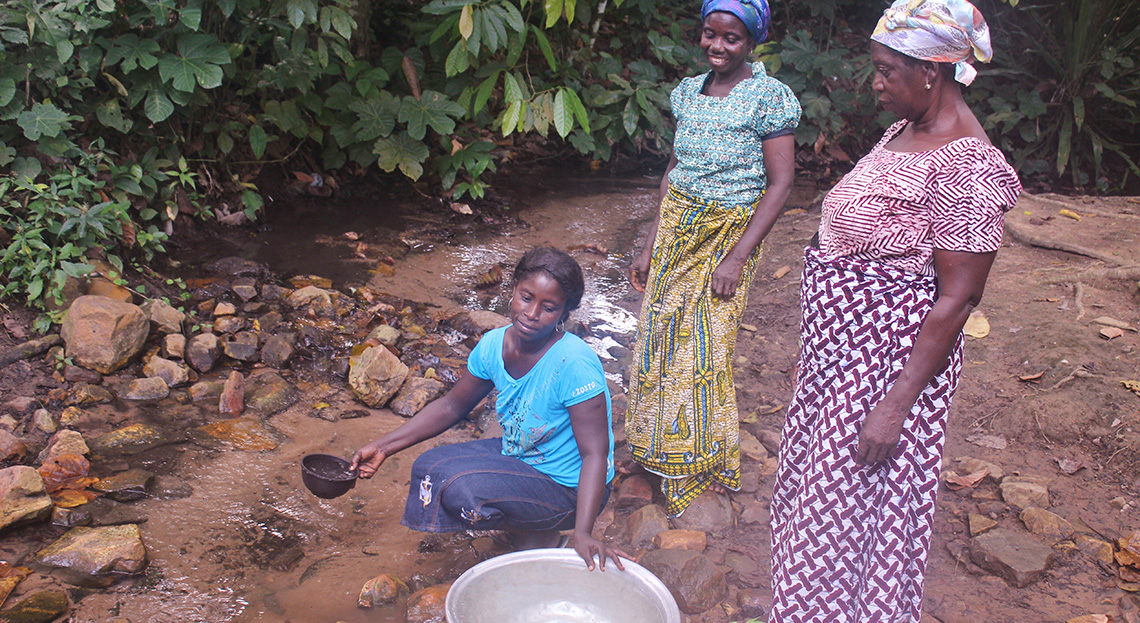
Outcome 1 - Improved planning and management of water resources taking into account climate change impacts on surface and groundwater sources
Outcome 2 - Climate resilient management of water resources by communities in Northern Ghana
Outcome 3 - Enhanced diversification of livelihoods of communities in northern Ghana
Solomon Islands Water Sector Adaptation (SIWSAP)
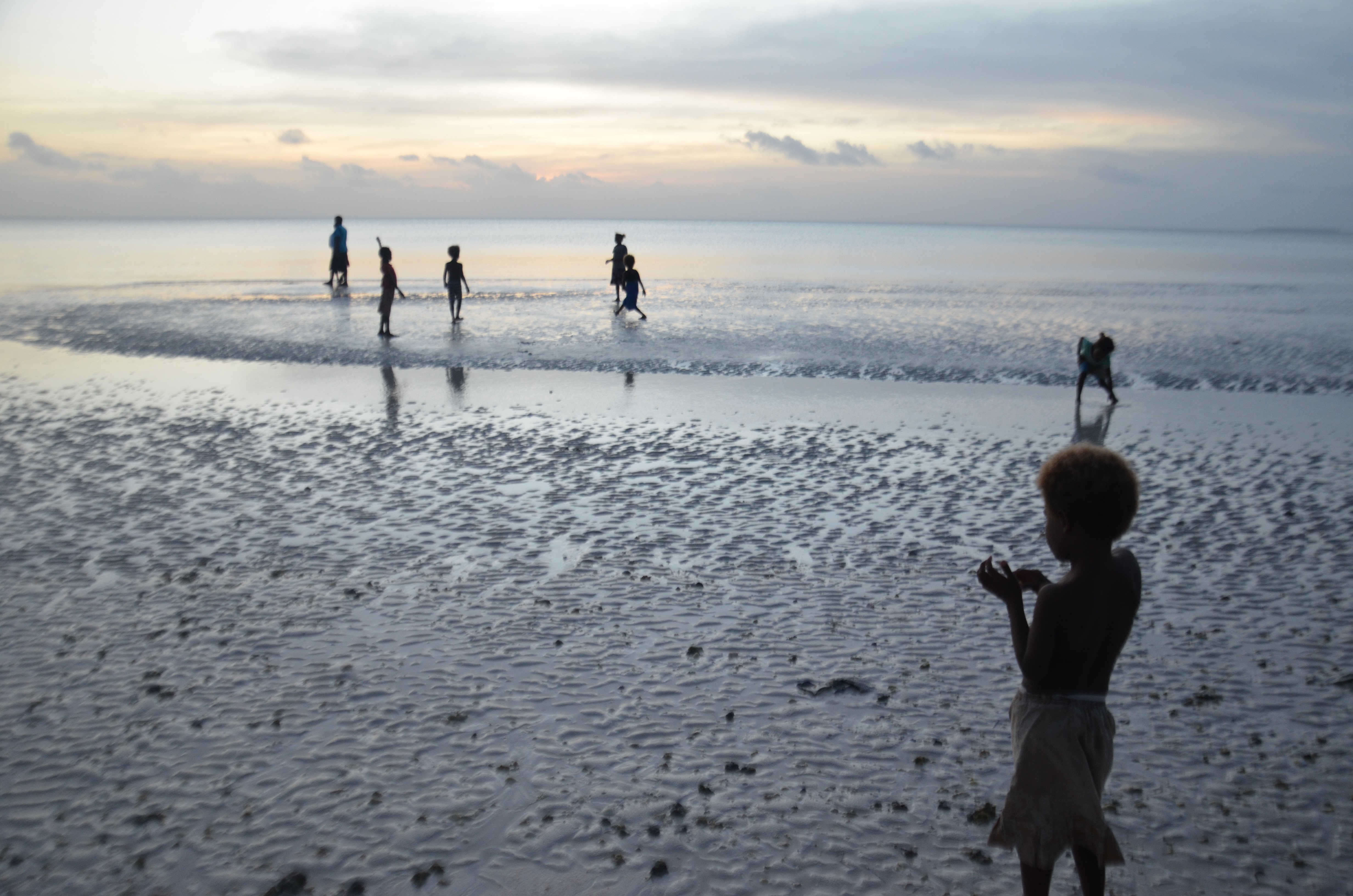
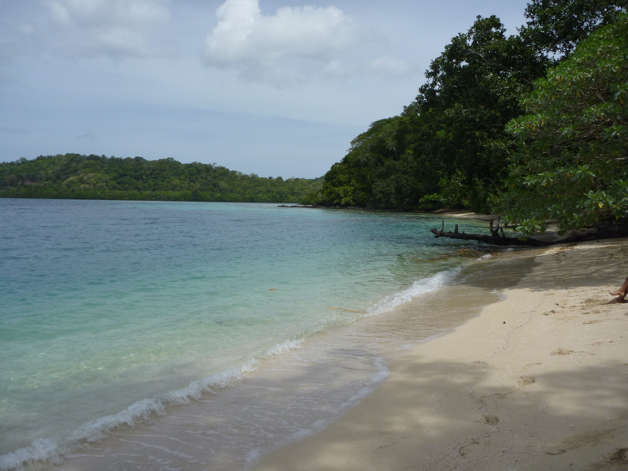
The impacts of climate change, particularly sea-level rise and pronounced droughts have severe consequences on water and sanitation in the country.
The areas which are most vulnerable to sea-level rise are low-lying islands, atolls and flat deltaic regions at the mouth of larger rivers. Intrusion of salt water from rise in sea level has affected groundwater resources, especially freshwater aquifers (lens) in small atolls and low-lying islands that rely on rainfall or groundwater for their freshwater supply. Droughts have severely affected water supplies and have also damaged crops and livelihoods.
Likewise, climate-related impacts on the quality and quantity of water has a gender dimension; in the context of the ethnic tensions, the safety and security of women and girls are compromised as they need to travel further to collect water, also leading to less time for other activities.
This project (2014 - 2019) focused on improving the resilience of water resources to the impacts of climate change, in order to improve health, sanitation and quality of life, and sustain livelihoods in target vulnerable areas.
For updates on UNDP Early Warning Systems and Climate Resilient Development projects, click here.
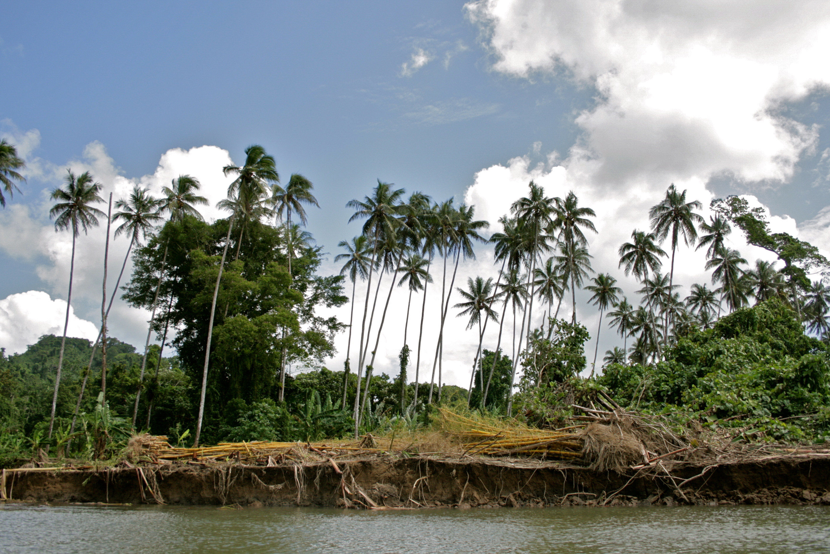
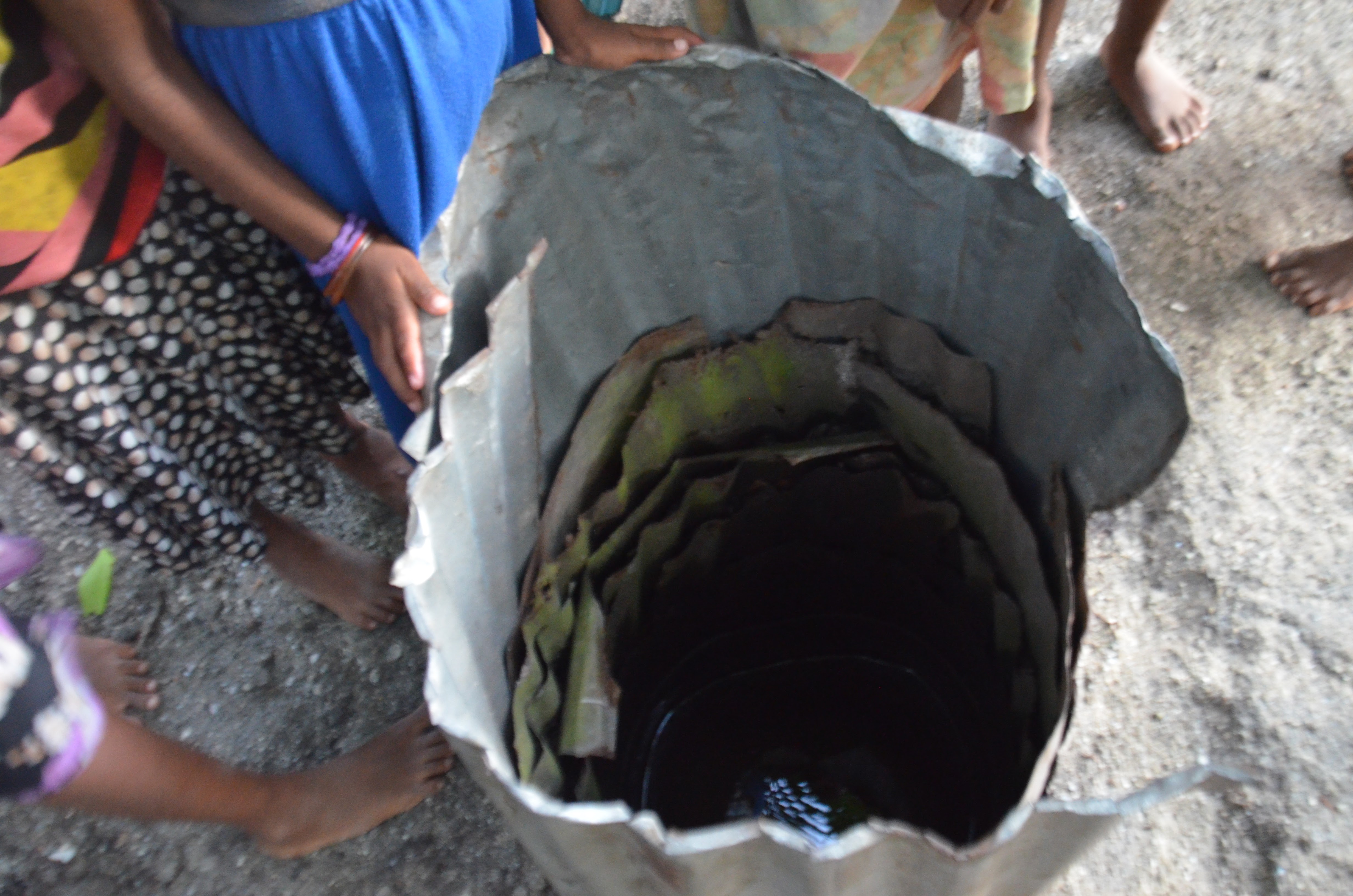
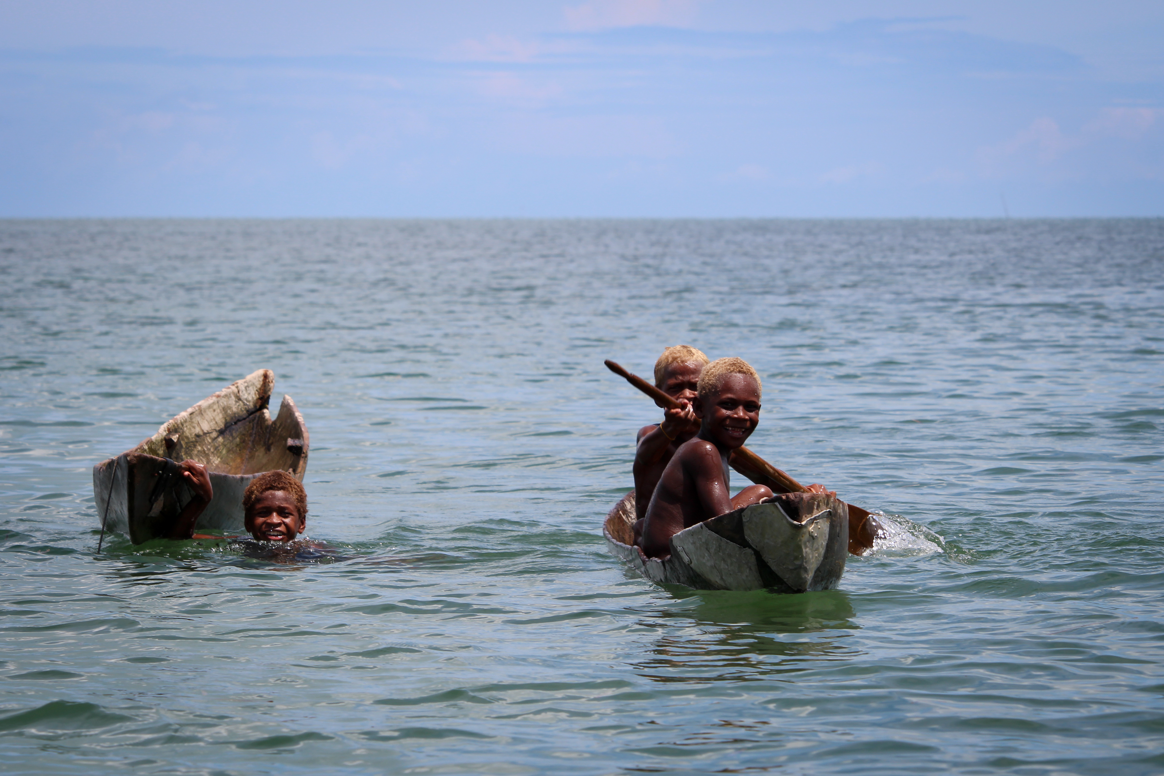
ProDocs
PIFs
Based on the LDCF resources requested and the scope of the climate change adaptation measures, the project will cover work in 6 pilot sites. On a national scale there are a number of benefits that this project will contribute to.
- More than 70% of the national population i.e. more than 360,000 people benefit from communal water systems and natural water sources and do not rely on government managed water supply systems. Many of these supply systems are dependent on water catchments and underground aquifers aquifers that are very sensitive to the hydrological cycle and its disturbances, most of which are related to climate change. Lessons from the project could be multiplied for the benefit of this population.
- Improvements to water supply will also result in more people having access to proper sanitation facilities, potentially reduce prevalence of disease and reduced costs to the people and to government’s social services
- UNDP estimates that water supply investment has an economic return of $4.4 to $1 while investment in sanitation has a return of $9.1 to $1. Some of the multiplier effects of investing in water and sanitation include; healthy workers, savings on medicines, bottled water not required, boost to agriculture and healthy tourists
- Increasing preparedness and enhancing resilience of the water sector to extreme events can potentially reduce the cost to government for disaster relief. Over the past few years flooding, king tides, excessive rainfall and storm surges have rendered rural locations and communities as disaster areas with the frequency of calls for disaster relief assistance from the national government reaching levels never before experienced in the country since it attained political independence in 1978
Outcome 1: Integrate water conservation and sustainable water resources management in all sectors and communities.
The outputs include: construction of village/community water tanks; construction of water reservoirs for institutional and residential areas; upgrading of existing reservoirs, protective structures/access roads; promote/build household rainwater harvesting; construction of strategic storage water reserve tank; engineered or “climate proofed” water reservoirs; develop and implement Water Use efficiency Plan; raise awareness for water conservation.
Outcome 2: Incorporate climate change adaptation strategies into the guidelines and criteria for design and construction of appropriate water infrastructure in vulnerable areas.
The outputs include: guidelines for development of water supply in rural areas developed; inventory of POPs and adequate storage and leakage prevention conducted; good practice guidance for pesticide storage and use, and application developed and used; drought and its effect on water distribution in rural areas assessed; rainwater harvesting technologies developed and used.
Outcome 3: Increased reliability and quality of water supply to all sectors and communities
The outputs include: capacity of water supply increased; water reticulation and distribution systems improved and where necessary constructed; arable land improved and rehabilitated; sustainable use of water on commercial agriculture land; build appropriate low-technology irrigation system for farmers; diversification food crops with a focus on high-yielding crop varieties promoted; promote water conservation and water use efficiency; prevent land-based pollution.
Outcome 4: Enhanced institutional and legal framework for water resources management
The outputs include: individual and institutional capacity for sustainable water management built and/or enhanced; water resources sector policy developed and implemented; water resources sector legislation developed and adopted; water sector plans and programmes developed and implemented.

Championed by the Government of the Solomon Islands through the Ministry of Mines, Energy and Rural Electrification (MMERE) Water Resources Division (WRD) in partnership with Ministry of Environment, Climate Change, Disaster Management and Meteorology (MECDM), and other line ministries, SIWSAP activities are designed to ensure access to safe and affordable drinking water and increase reliability and quality of water supplies in targeted areas. Longer-term project measures are working to integrate climate-resilient water management in policy and development frameworks; encourage investments in cost-effective and adaptive water management technologies; and improve governance and knowledge management for climate change adaptation in the water sector at the local and national levels.
Global Ecosystems Based Adaptation in Mountains Programme
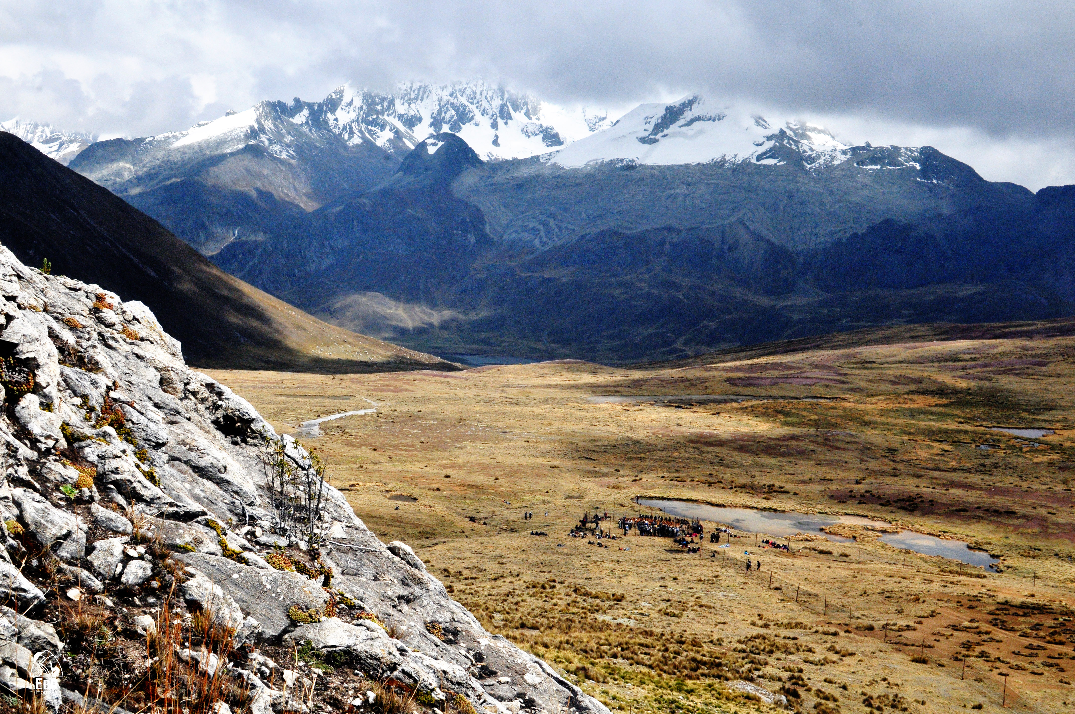
Human wellbeing and livelihoods cannot be sustained without healthy ecosystems. Mountain ecosystems are particularly important, in that they maintain rich ecological processes and provide essential goods and services, especially water, not only to mountain people, but also to downstream lowlands where demand from population centers, agriculture and industry is high. These ecosystems, however, face severe threats from unsustainable land use practices (overgrazing and non-conservation agriculture), illegal wood extraction, development of large-scale infrastructure (dams, roads) and unsustainable natural resource projects (hydrocarbons, mining).
Climate change further compounds these threats by increasing levels of exposure to droughts, floods (which in turn results in an increase in landslides) and changes in seasonality. These impacts both undermine the resilience of the mountain ecosystems and increase the vulnerability of the local mountain communities, whose livelihoods and wellbeing depend on their services. Mountain people tend to be among the world’s poorest and most marginalized populations. Not only do many share the disadvantages of rural poverty and ethnic or religious discrimination. They also face additional challenges to subsistence brought about by elevation, rough topography and severe climate.
Through the global Ecosystems-based Adaptation (EBA) in Mountains Programme, UNDP, UNEP and IUCN, with funding from the German Government, used sustainable management, conservation and restoration of ecosystems, as part of an overall adaptation strategy, to reduce the vulnerability and enhance the resilience of select fragile mountain ecosystems and their local communities to climate change impacts.
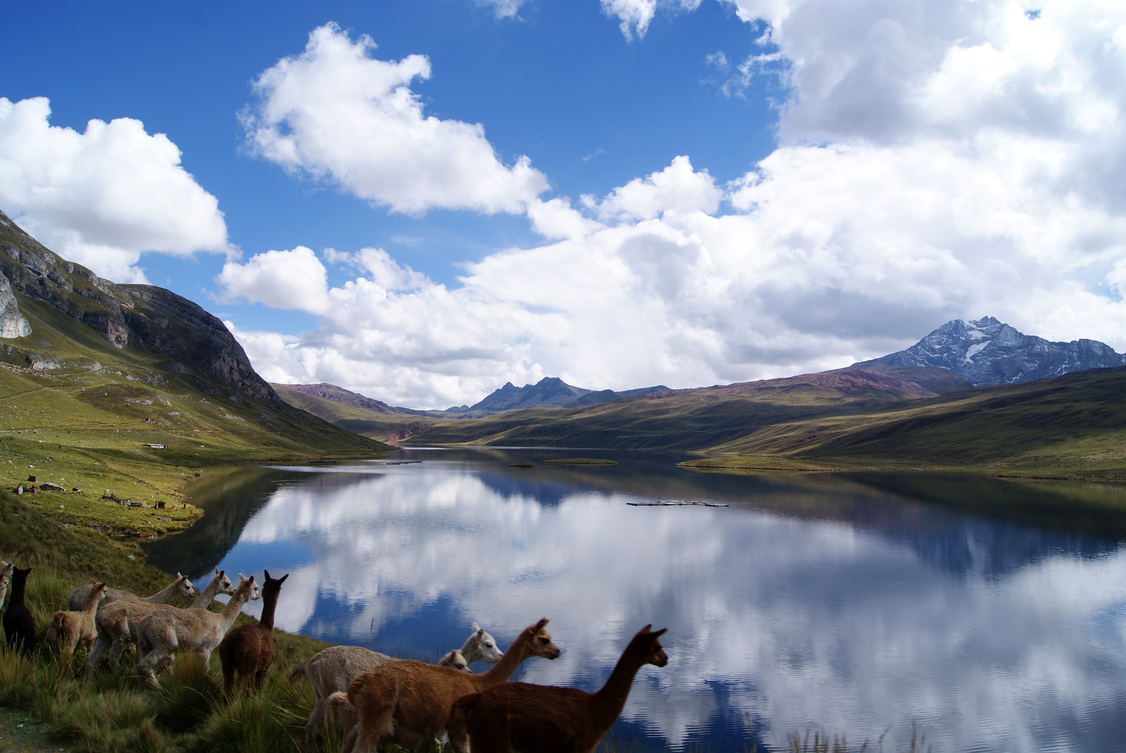
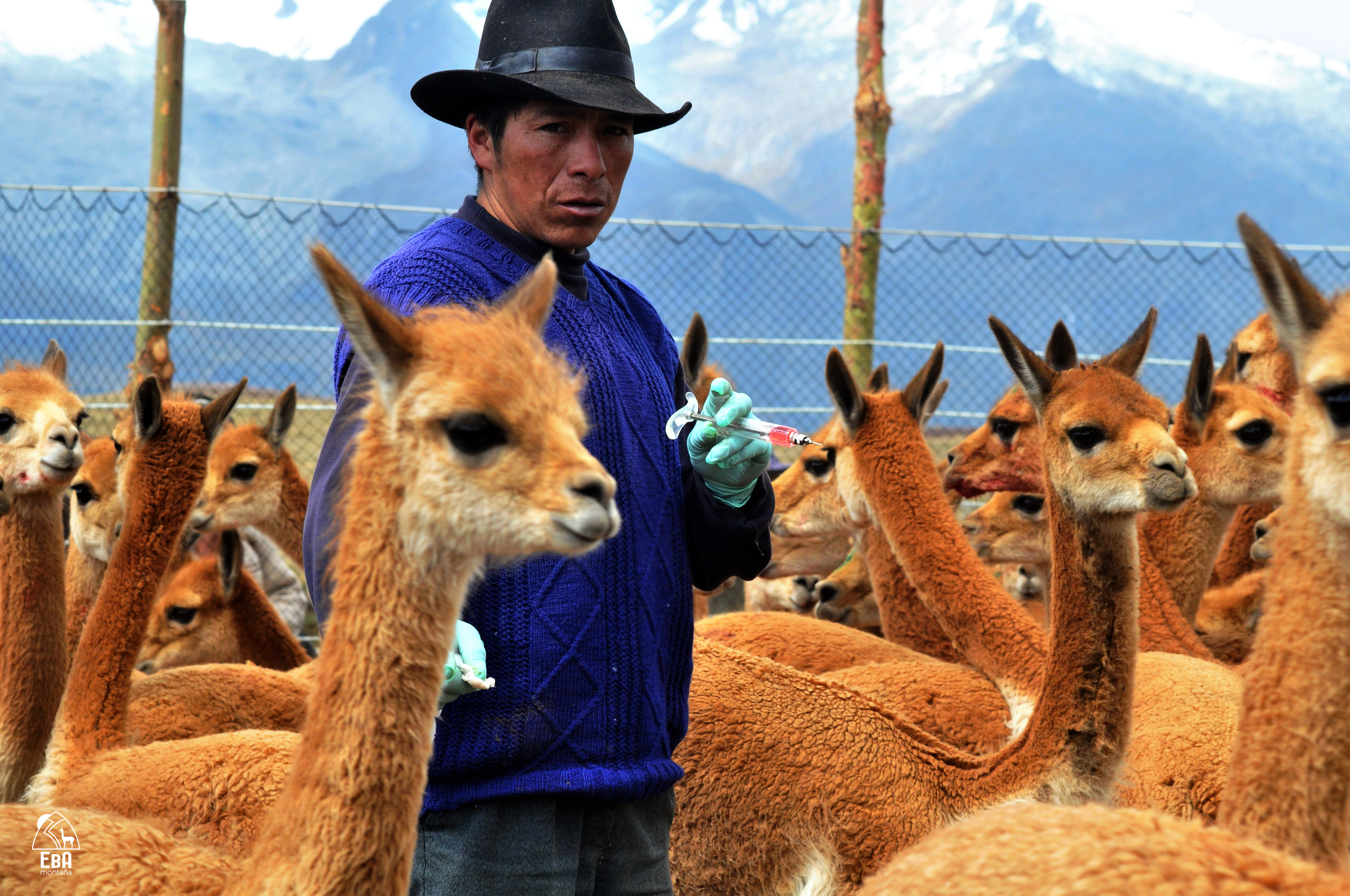
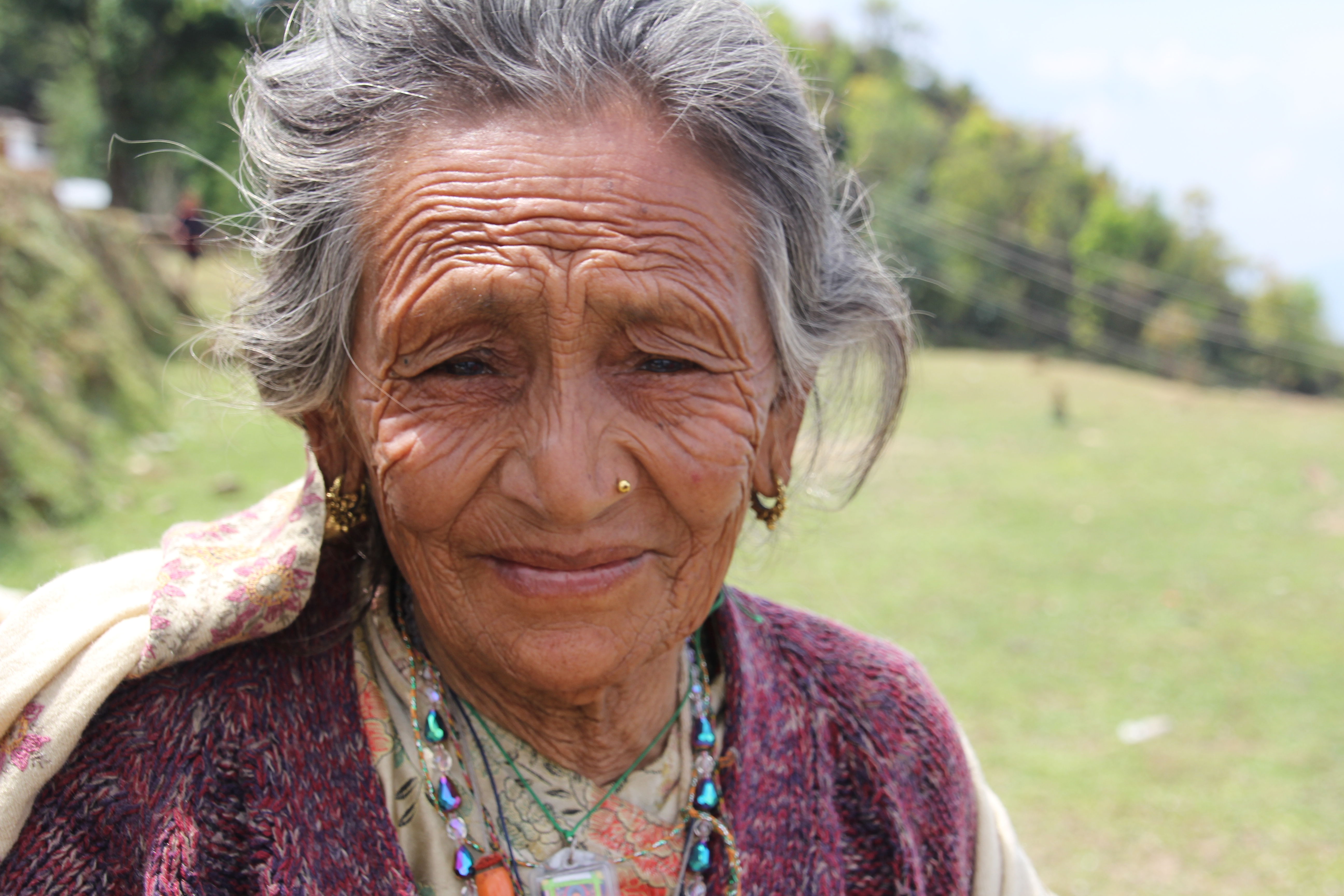
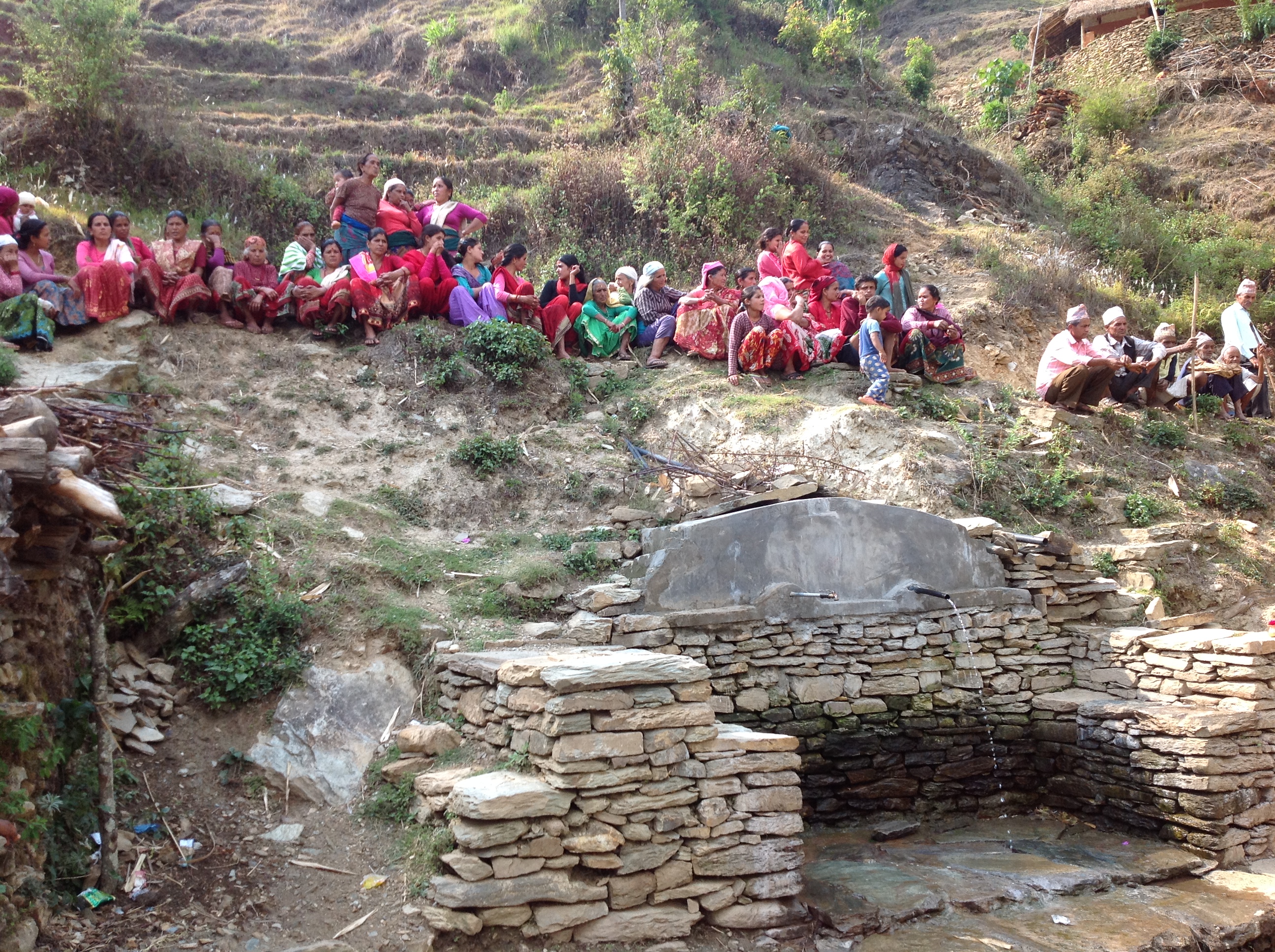
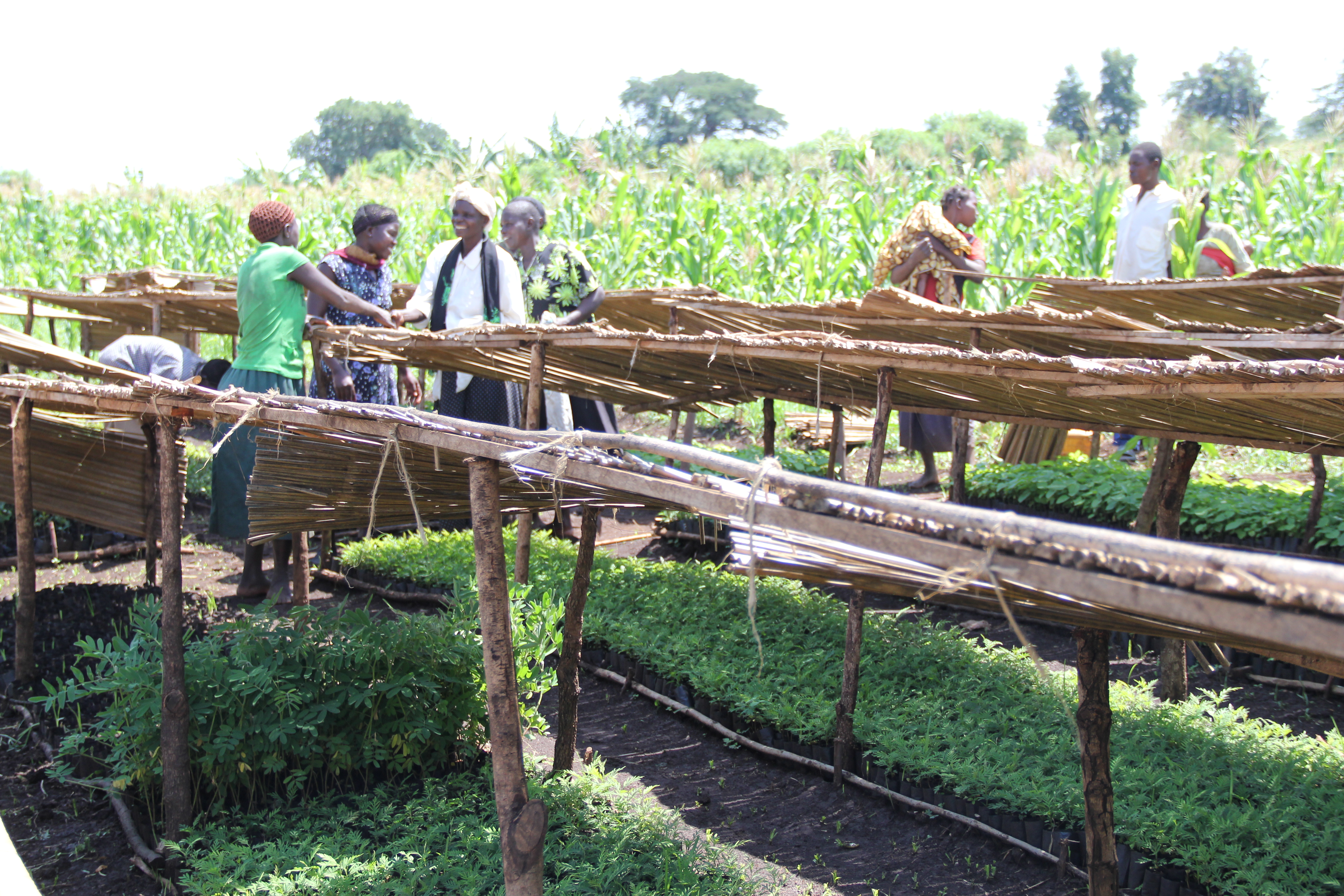
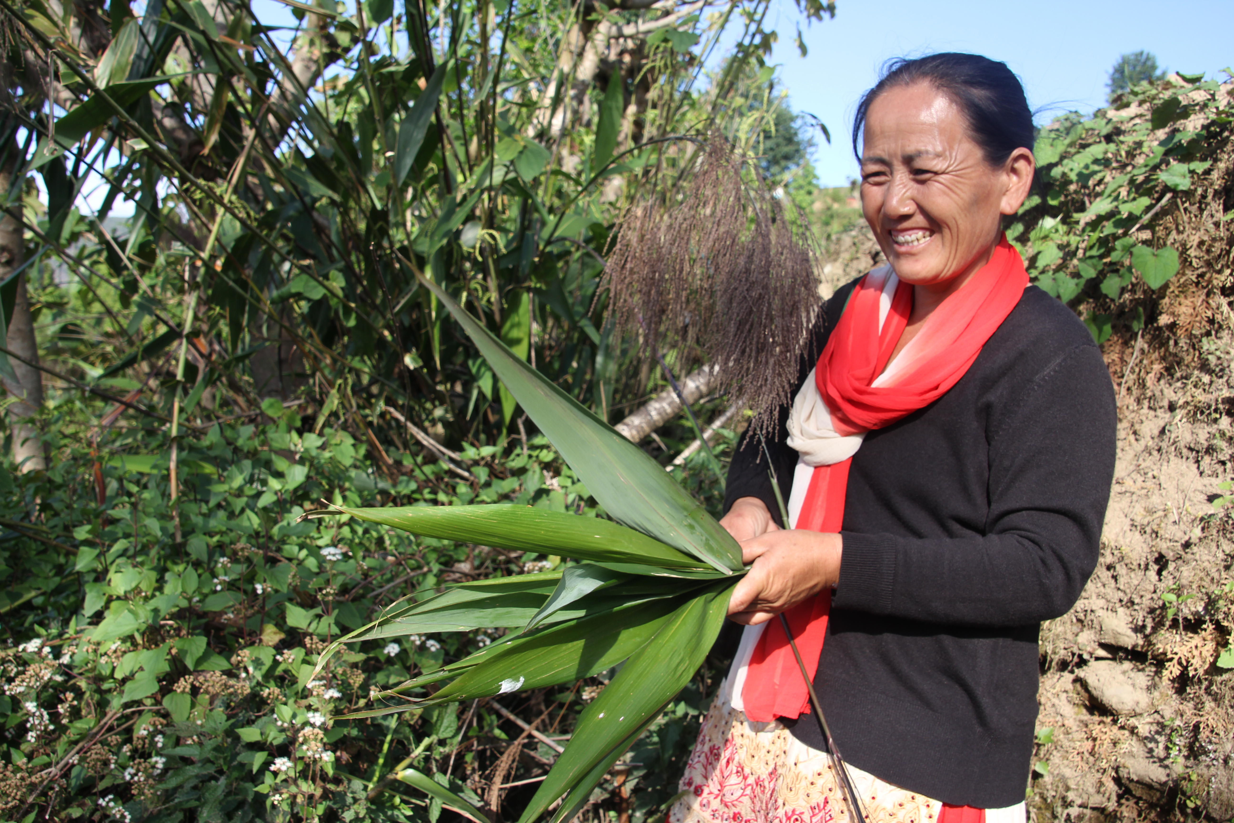
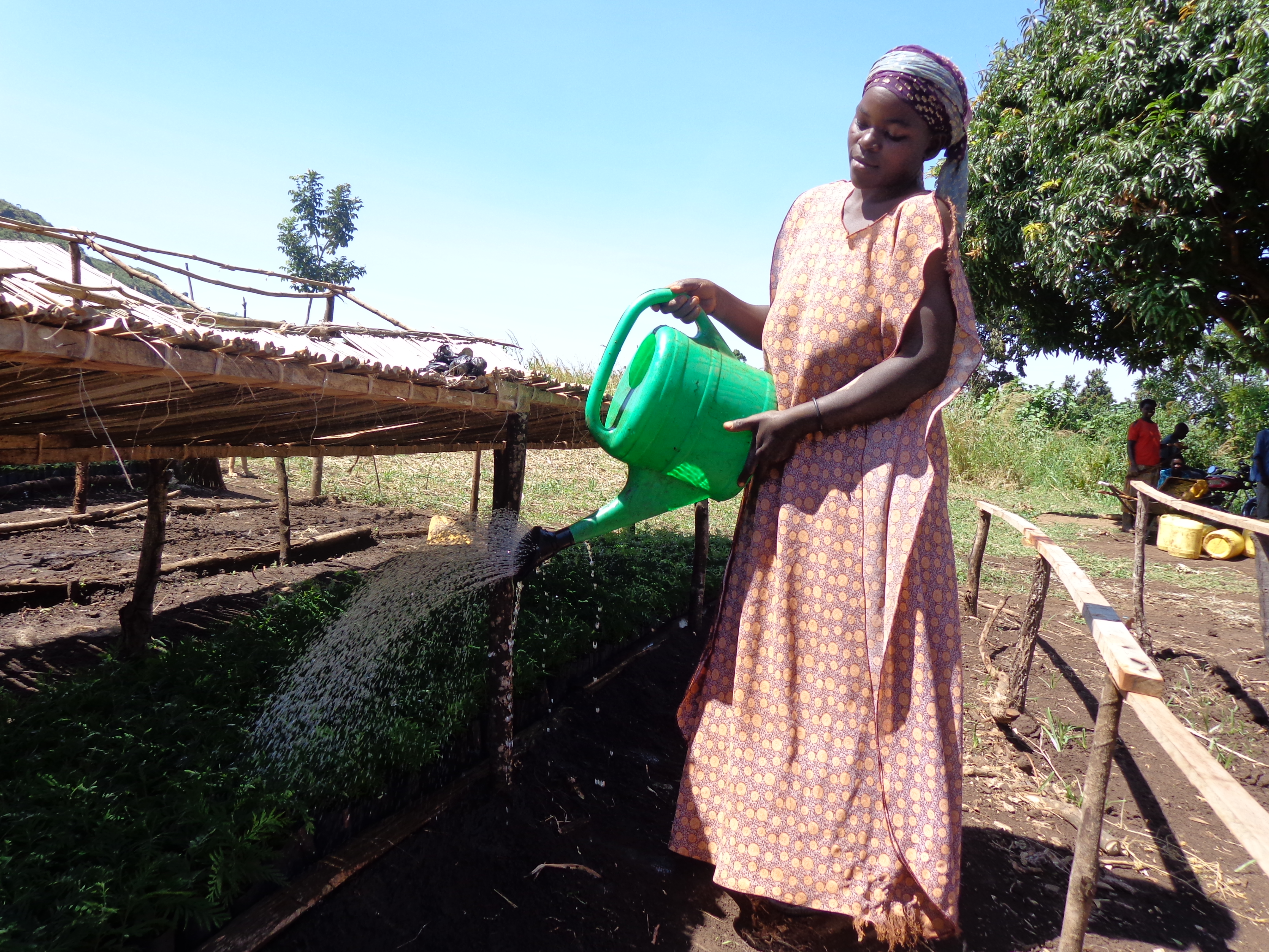
Photos provided by: UNDP Peru, Carlos Diaz Huertas and Adriana Kato, UNDP Nepal, Tine Rossing, Andrea Egan, UNDP Uganda, Ed Barrows and James Leslie.

Assessments and Background Documents
Making the Case for Ecosystem-based Adaptation: The Global Mountain EbA Programme in Nepal, Peru and Uganda.
Project Brief / Fact Sheet
Learning Brief 4 - Making the case for policy change and financing for Ecosystem-based Adaptation
Learning Brief 3 - Making the economic case for Ecosystem-based Adaptation
Learning Brief 2 - Generating multiple benefits from Ecosystem-based Adaptation in Mountain Ecosystems
Learning Brief 1 - Introduction to Ecosystem-based Adaptation: A nature-based response to climate change
Training & Tools
UNEP-WCMC (2015) VIA Guidance Document: Executive Summary - RU
UNEP-WCMC (2015) VIA Guidance Document: Executive Summary - PT
UNEP-WCMC (2015) VIA Guidance Document: Executive Summary - SP
UNEP-WCMC (2015) VIA Guidance Document: Executive Summary - FR
Brochures, Posters, Communications Products
Mt EbA Programme (2014) Programme Brochure: Ecosystem-based Adaptation: Adapting to Climate Change in Mountain Ecosystems
UNEP (2010) Making the Case for Ecosystem-based Adaptation (Mt EbA Programme)
The Ecosystems-based Adaptation (EbA) in Mountains Programme is a global partnership jointly implemented by UNDP, UNEP and IUCN from 2011-2015, with funding from the Germany’s Federal Ministry for the Environment, Nature Conservation, Building and Nuclear Safety (BMUB). While global in scope, Uganda, Nepal and Peru were selected as pilot countries, due to their significant vulnerability to climate change, coupled with their endowment of fragile mountain ecosystems upon which a multitude of communities and economic activities depend.
The overarching Programme goal is to strengthen capacities of the involved governments and local communities to reduce vulnerability and increase resilience to the effects of climate change using EbA measures in targeted mountain ecosystems.
Expected programme results include:
- New and field tested methodologies and decision-making tools for EbA, including Vulnerability & Impact Assessments;
- Monitoring and Evaluation centered on ecosystem resilience; and
- Capacities and knowledge of all involved stakeholders (national, district and local level government, local communities and civil society organizations) will be enhanced for planning and implementing both early action “No Regrets” and longer-term EbA measures through pilot activities in target mountain ecosystems.
Based on evidence emerging from these processes, lessons will also be generated on how to use cost-benefit analyses to make an economic case for specific EbA measures. In close collaboration with key governments agencies, evidence and lessons will be generated on how to mainstream EbA into broader district and national policy and financing frameworks. These lessons can be scaled-up and shared as policy examples at regional and global levels beyond the three pilot countries. Overall, the resilience to climate change of targeted mountain ecosystems and their local custodians will be enhanced.
Outcome 1: Methodologies and tools for EbA decision making developed. The application of appropriate scientific methodologies and tools to assist decision makers on the effectiveness of the interventions is a critical ingredient of successful EbA approaches. In each pilot country, this outcome will finance a process that will assess, evaluate and develop appropriate methodologies for use in informing project adaptation actions. Additional results that will be generated include development of project baselines as well as comprehensive monitoring and evaluation mechanisms to monitor programme impacts. Indicators will be developed to specifically measure impacts related to ecosystem functioning and adaptive capacity.
Outcome 2: EbA methodologies and tools applied at ecosystem level. This outcome will finance the development of a capacity building approach that, in turn, will be used to apply the methodologies and tools developed under Outcome 1. In order to ensure sustainability in the use of the tools as well as ensuring that results from the programme are integrated in national processes, relevant stakeholders who were to be involved in the programme will be trained in the use and application of the tools.
Outcome 3: EbA pilot projects implemented in each pilot country and contributing towards ecosystem resilience and reduction of livelihood vulnerability in the face of climate change impacts. A number of EbA activities will be identified and selected for implementation based on the outputs of outcomes 1 and 2. In addition, 1) institutional roles and responsibilities for EbA will be agreed to by different stakeholders at all levels; 2) Institutional capacity of local governments and other key national institutions to plan, monitor and enforce EbA will be enhanced; 3) pilot projects focusing on water resources management and enhancement of soil conservation measures will be implemented; 4) market opportunities and access will be enhanced; and 5) lessons learned from pilot projects will be captured and disseminated.
Outcome 4: Business case for EbA at the local and national levels developed. To make an economic case for EbA, the project will identify and apply the best methods and practice for socio-economic evaluation of adaptation options. This will provide an economic justification for support from relevant government institutions for the use of EbA as a climate risk management strategy. To this end, i) an enabling environment for scaling-up EbA at national level will be created; and ii) information and capacities of key government stakeholders will be enhanced so as to integrate EBA into national development planning processes and climate change policies and strategies.
Outcome 5:New learning and knowledge on EbA generated. In early 2014, the scope of the Programme was expanded to include a new Learning and Knowledge Component. These new activities will strengthen learning about EbA at various levels namely 1) site level – i.e. the three pilot sites in Nor Yauyos-Cochas, Mount Elgon and Panchase – 2) country level (Peru, Uganda and Nepal), and 3) beyond (inter-country, regional and global levels). Systematization of generated information and learning wil be used by partners to generate new science, insights and messages that can influence policy and practice on EBA in mountain ecosystems and beyond. The application of methodologies and tools, combined with implementation of pilot activities, will enable the Programme to shorten the learning curve for local and national institutions, and fast-track the transfer of knowledge and experience in building ecosystem and social resilience to climate change.
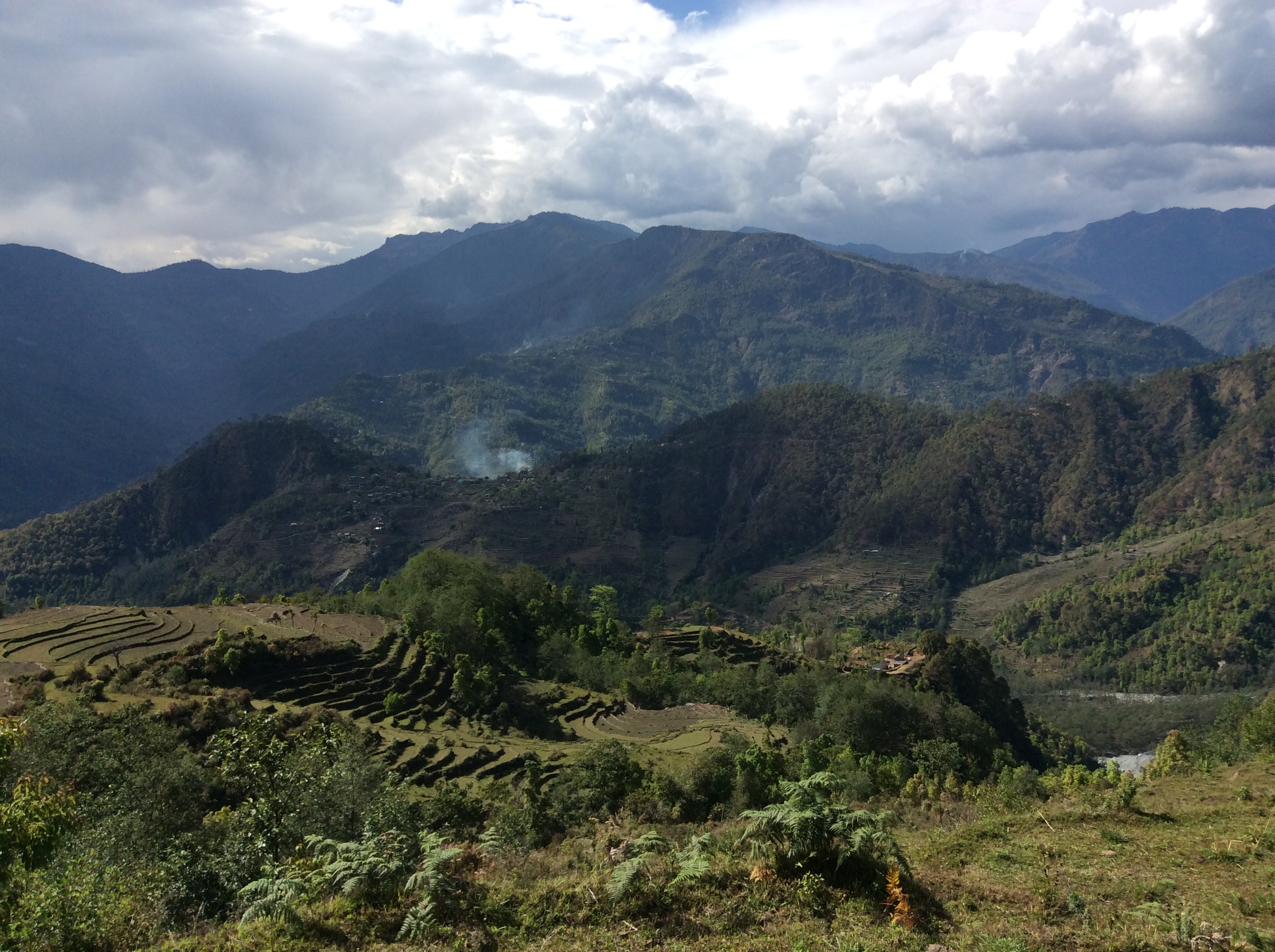
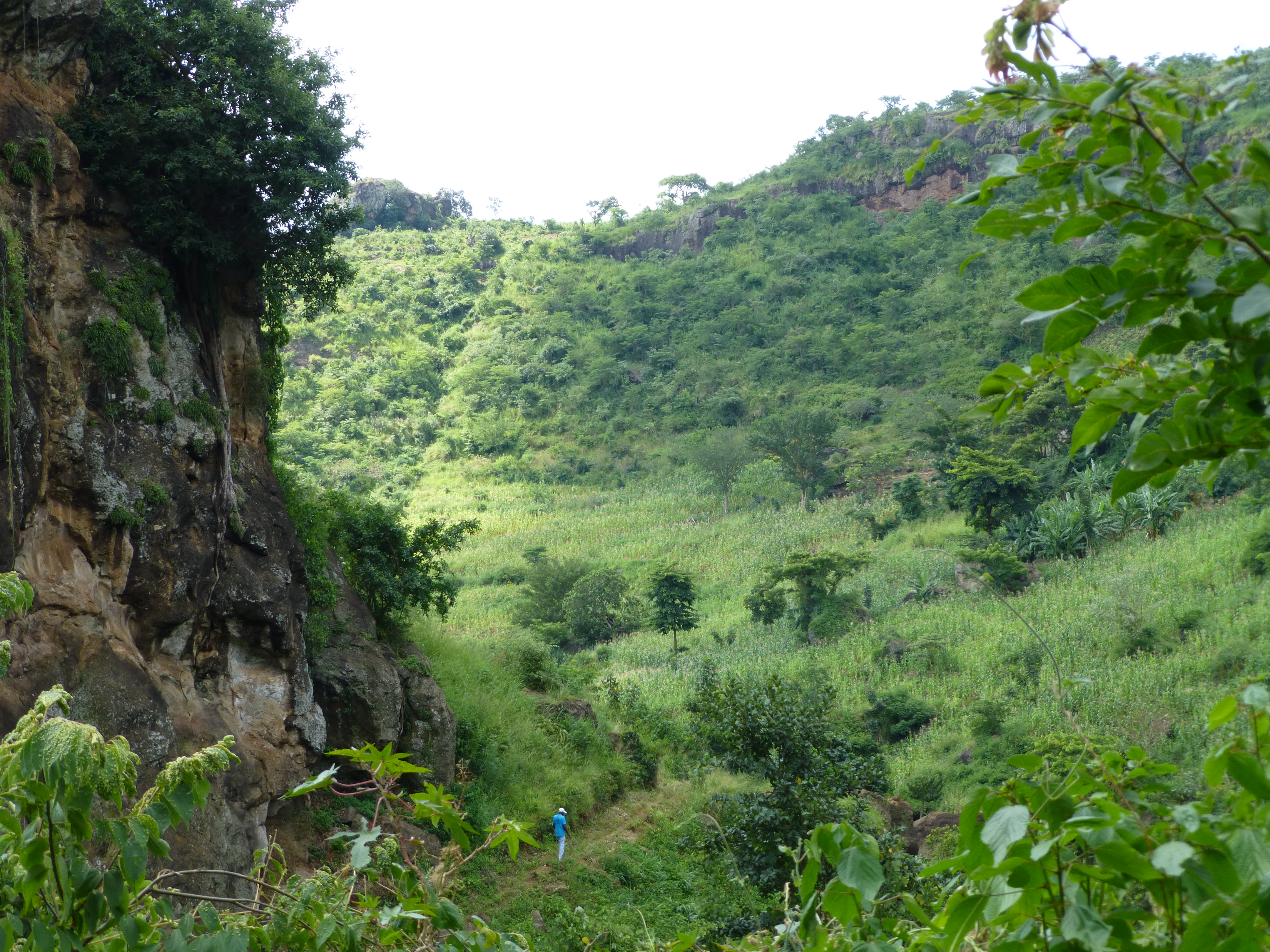
The EbA Mountain Ecosystems Programme is working in designated project sites in Nepal, Peru, and Uganda.
Adaptation to Climate Change through Integrated Water Harvesting Technologies in Yemen
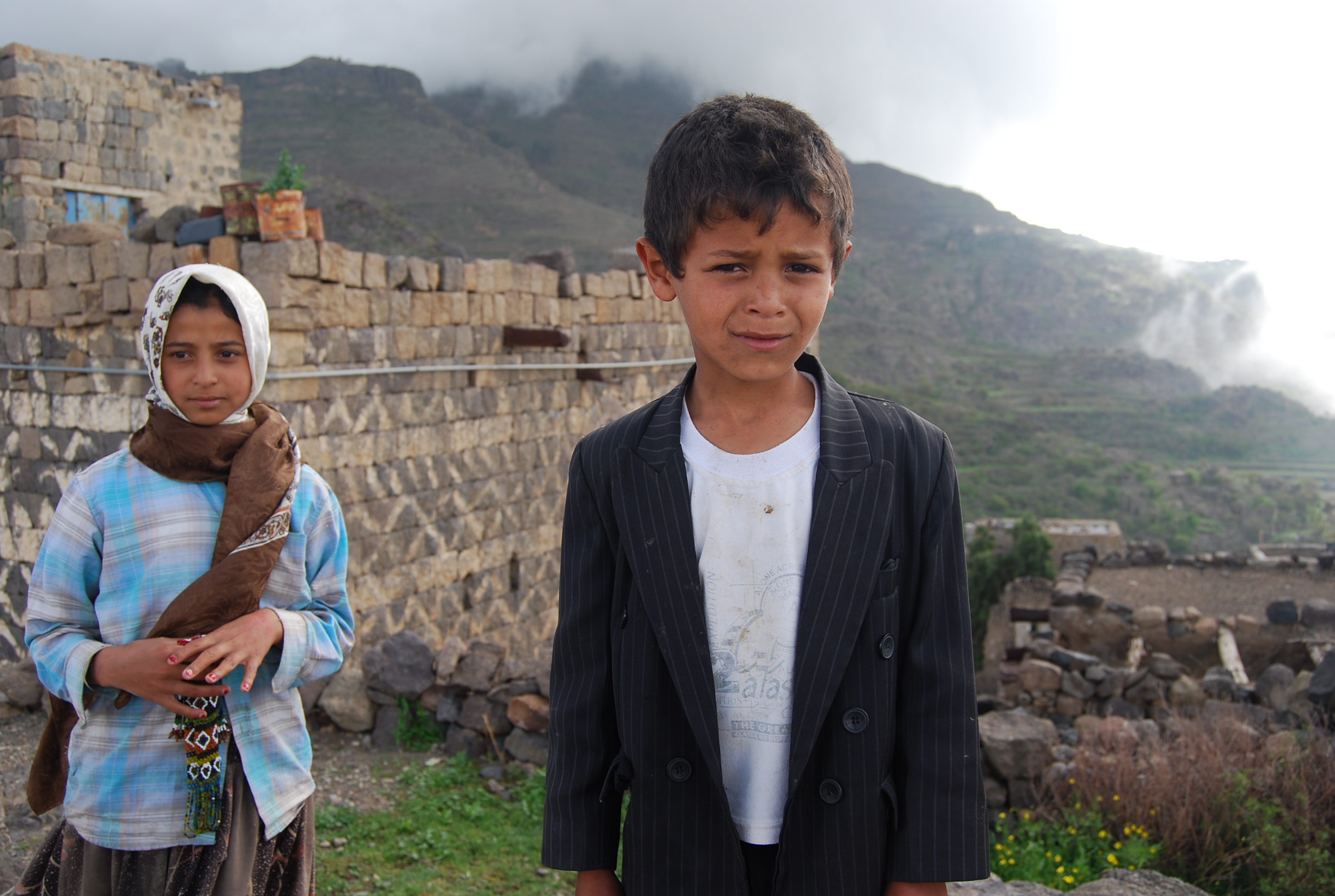
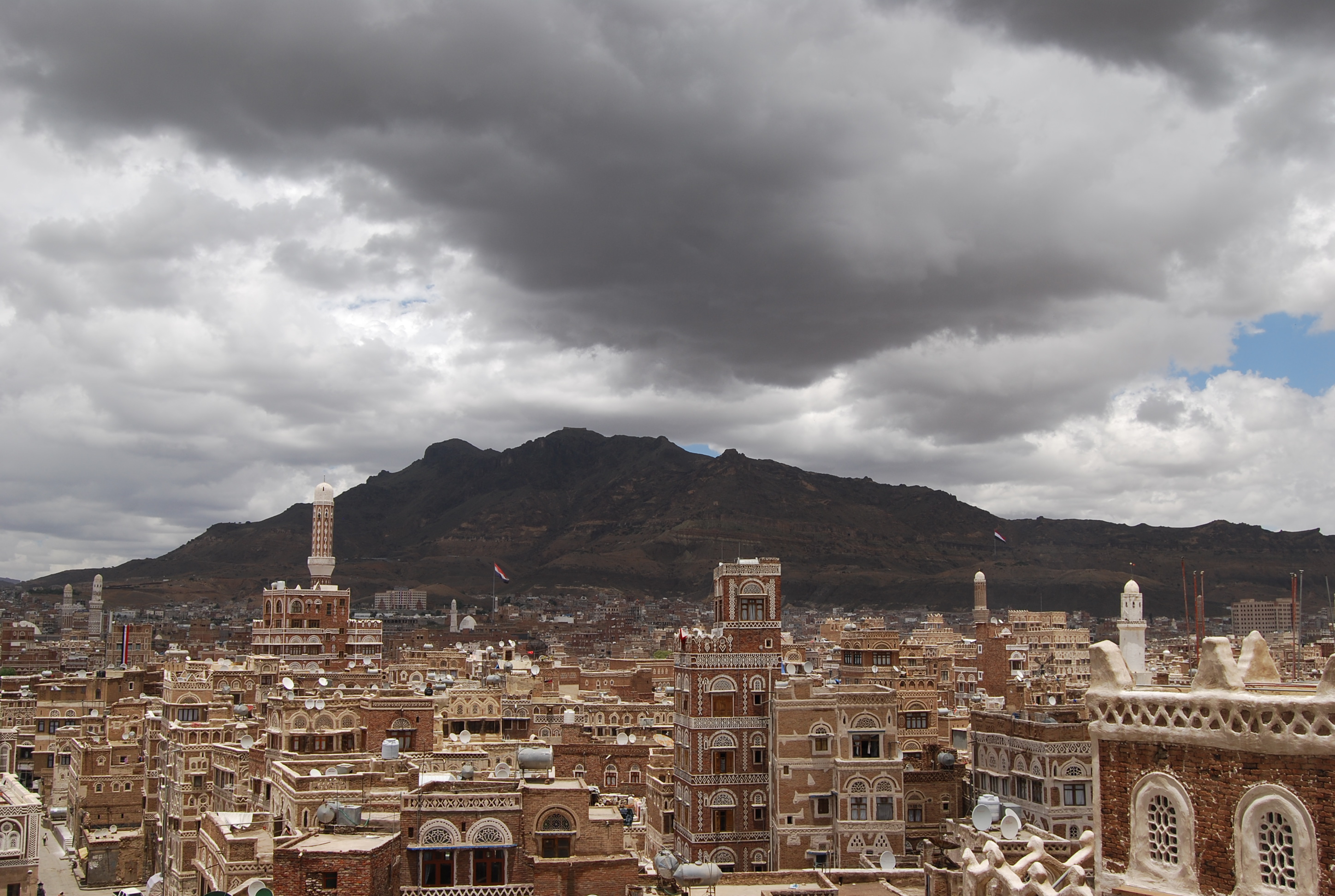
As a Least Developed Country (LDC), Yemen is highly vulnerable to climate change-related impacts such as drought, extreme flooding, and sea level rise. These are serious concerns as Yemen's economy largely depends on its natural resources. In addition to having a predominantly semi-arid to arid climate, more than half the agriculture is rain-fed. Coupled with a rise in both droughts and floods, the Yemenis face an acute challenge in adapting to climate change induced stress on water resources.
Thus, the project “Adaptation to Climate Change through Integrated Water Harvesting Technologies in Yemen” aimed to reintroduce traditional and innovative water harvesting techniques to improve water availability to rainfed farmers and pastoralists who are highly vulnerable to climate change.
PIFs
(More information to come)
The project has three main components with the following associated outcomes –
- Development of policies for traditional and innovative water harvesting systems including development of GIS-based rainfall-runoff models (Output 1.1); integration of water harvesting regulations into the water laws of Yemen (Output 1.2) and; formulation of long term, climate resilient water plans that include integrated water harvesting (Output 1.3)
- Development of on-ground measures for water harvesting and rehabilitation of traditional water harvesting structures. This component includes the reintroduction of five traditional water harvesting technologies (Output 2.1); introduction of fog harvesting technology (Output 2.2); training of community members on construction and maintenance of water harvesting technologies (Output 2.3); establishment of integrated groundwater recharge systems (Output 2.4) and supplementary irrigation (Output 2.5) and; design and deployment of awareness raising programmes to promote socio-economic benefits of water harvesting (Output 2.6).
- Development of decentralised and community led water management systems including customer-oriented water distribution and seasonal rationing services for communal harvested water (Output 3.1); capacity building to support a range of water harvesting technology designs and maintenance requirements (Output 3.2) and; introduction of incentives, such as concessional micro-loans, community grants, employment guarantee (Output 3.3).
(More information to come)
(More information to come)
Reducing vulnerability of natural resource dependent livelihoods in Boucles du Mouhoun Forest Corridor and Mare d’Oursi Wetlands Basin in Burkina Faso
With more than 70% of the population live on less than $2 per day, Burkina Faso’s economy is heavily dependent on natural resources. In the riparian areas of the Boucles du Mouhoun Forest Corridor (BdM) and the Mare d’Oursi Wetlands Basin (MdO) approximately 150,000 people are directly dependent on natural assets such water, pasture, forests and fertile soil for a living. The project aims to increase the adaptive capacity and reduce vulnerability of the riparian population through timely dissemination of risk information and strengthening of physical, natural and social assets in the two regions.
PIFs
The project has three major components with the following expected outcomes –
Component 1 aims at establishing a knowledge support platform on climate change impacts and risks – under this a geo-based climatic, agro-ecological and hydrological information system (Outcome 1.1) will be operational by the end of year 1; approx. 30 national and provincial planners, plus 235 local commune leaders and 50 staff from NGOs/CSOs will be trained on the use and interpretation of analyses from the established information system (Outcome 1.2)
Component 2 deals with the vulnerability reduction and strengthening of resilience in the management of natural and social assets in the project area – this includes cost-effective rewetting and replanting/ protection of indigenous grasses and herbaceous vegetation resilient to significant climatic variance (Outcome 2.1); ensuring flood and erosion control through a “surgical” and climate anticipatory approach (Outcome 2.2); protection of gazetted forests against climate induced bushfire (Outcome 2.3); establishment of an equitable and climate resilient plan for the use of pasture and water resources (Outcome 2.4); demonstration of polyculture and adaptive agro-ecological production systems in communal lands (Outcome 2.5) and; training of local commune leaders and resource users in climate adaptive and anticipatory management of natural and social assets (Outcome 2.6).
Component 3 aims at mainstreaming Climate change adaptation into local and regional development planning and finance. This will be achieved through – integration of climate risk management and climate resilient landscape management into the management (or master) plans of the project area (Outcome 3.1); incorporation of climate resilient poly-culture model into relevant forestry, agricultural and livestock management strategies, plans and investments (Outcome 3.2) and; establishment of wide collaboration frameworks for learning and sharing climate change concerns and options (Outcome 3.3).
Reducing risk and vulnerability to climate change in Colombia
With one of the highest rates of disaster occurrences in Latin America, Colombia experiences on average 2.97 disasters per year - floods and landslides accounted for a third of these between 1970-1999. The increasing intensity of these events has consequently pushed back advances in social development, leading to increased inequality and poverty. This UNDP-supported project, Reducing risk and vulnerability to climate change in the region of La Depresión Momposina in Colombia focused on the municipalities of Ayapel, San Marcos and San Benito Abad to reduce the vulnerabilities of communities and wetlands to climate-related flooding and drought risks.
PIFs
Led by the Ministry of Environment, this project sought to reduce the vulnerability of communities to the risks of flooding and drought associated with climate change and increase the resilience of ecosystems in this region. Its main activities focused on the municipalities of Ayapel in Córdoba, San Marcos and San Benito Abad, Sucre. This initiative was implemented in association with Local Climate Change Consolidation Platform, made up of community leaders and local institutions.
The project objective was to reduce the vulnerability of communities and of wetlands in the region of La Depresion Momposina to flooding and drought risks associated with climate change and variability. To achieve this objective the project included the following four components:
- The existing hydroclimatological and environmental information system (HEIS) is strengthened and used by local- and regional-level stakeholders, reducing their exposure to the impacts of climate change.
- Wetlands and their hydrology in the target area are rehabilitated as a means of reducing risk to flooding and drought associated with climate change and variability.
- Increased adaptive capacity of local communities in three targeted municipalities through the introduction of agroecological practices that help reduce their vulnerability to the impacts of climate change.
- Institutional and policy capacity strengthened for mainstreaming climate risk management and adaptation measures into planning and decision-making processes.
View Terminal Evaluation report (published in 2017) here on UNDP's Evaluation Resource Centre.
Reducing Risk and Vulnerability to Climate Change in Colombia - 20th December 2018
UNDP Colombia, April 6, 2018: The hanging gardens of Colombia
UNDP Colombia, January 11, 2017: Huertas familiares contra el cambio climático en la Mojana

Strengthening Livelihood Resilience & Managing Disaster Risks for Afghan Communities
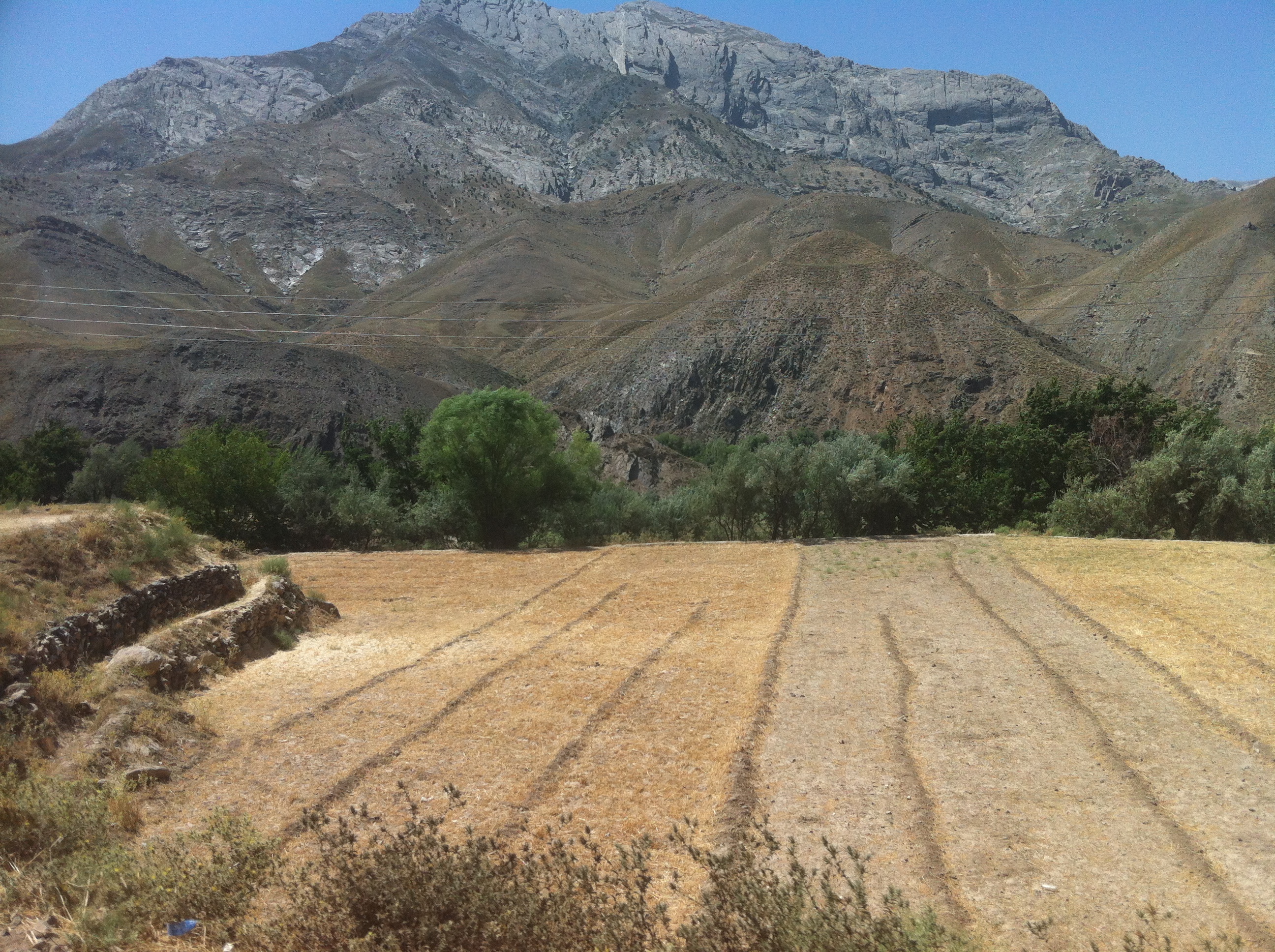
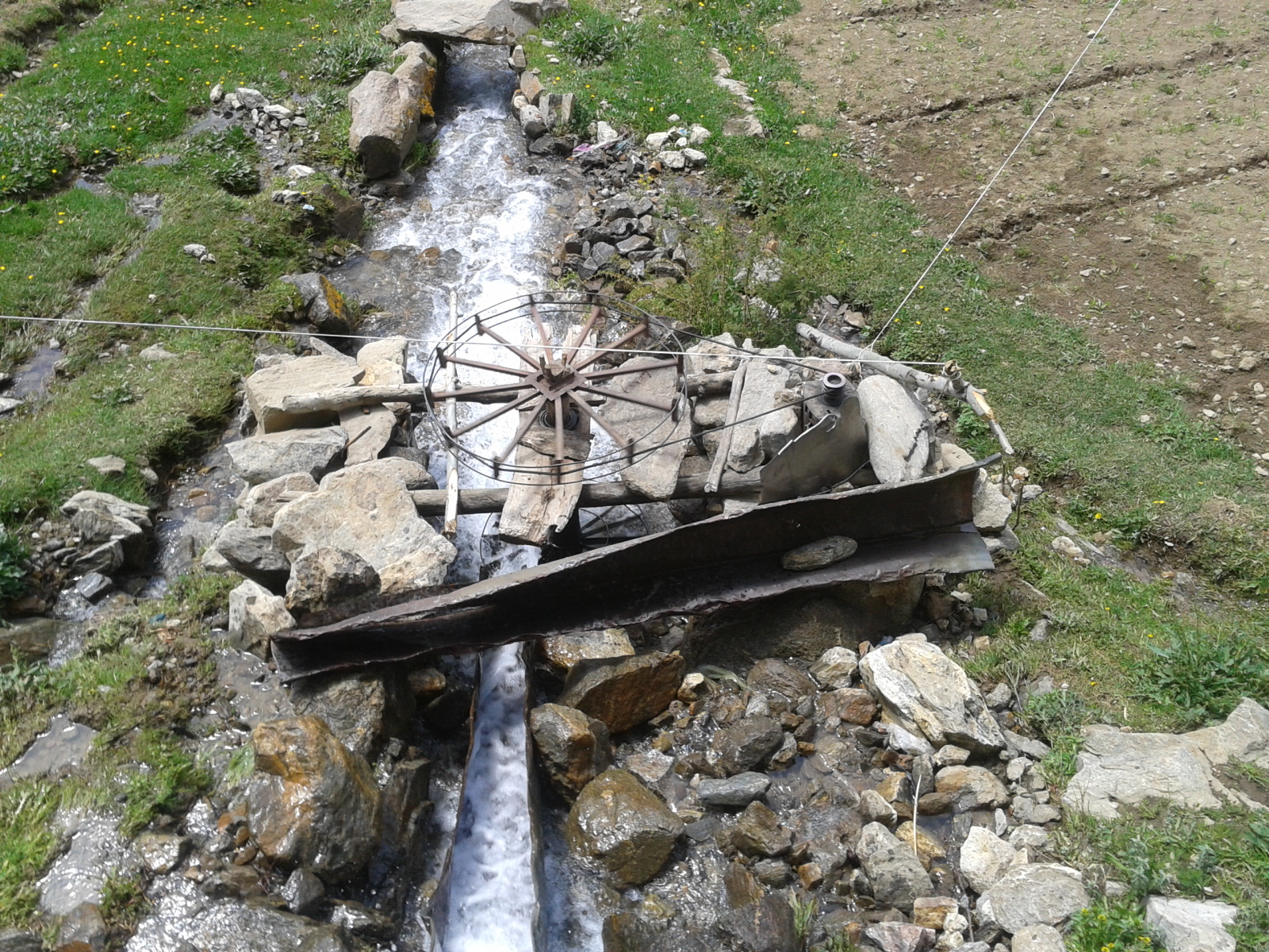
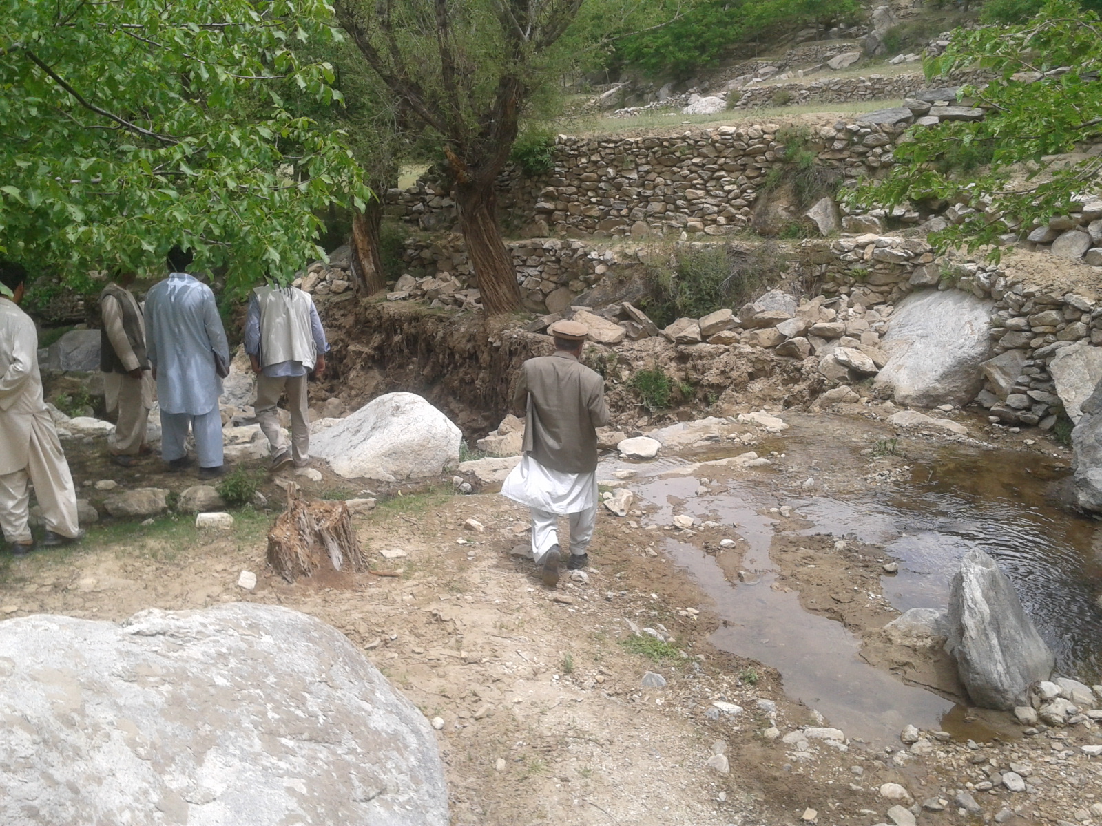
The UNDP-supported and GEF-LDCF funded project, Strengthening Livelihood Resilience & Managing Disaster Risks for Afghan communities, focuses on delivering tangible socio-economic benefits by investing in and restoring ecological infrastructure such as rangelands. Rangelands are vital to the Afghan economy since they support livestock production and related industries and provide natural products such as fruits and nuts. With the enhanced resilience of ecosystems, climate change induced changes and extreme events are likely to be more gradual and less severe than under a ‘business as usual’ scenario. This will help reduce livelihood losses from severe climate events. Finally, investments in small-scale rural infrastructure such as water management and irrigation will contribute to higher food security and poverty reduction for those currently operating on rain fed land.
In the long-term, strengthening the resilience of Afghan communities to climate change will require a step change in current practices. To begin with, a greater level of awareness and a more robust knowledge base of climate change impacts are required. Policy and planning must fully incorporate climate risks, particularly in the District Development Plans and Community Development Plans. Restoring the depleted natural resource base and managing it in a more sustainable manner is a fundamental component of building resilience. Moving beyond subsistence agriculture to food and income security, along with a shift toward more diverse and less vulnerable livelihoods, is also essential. Finally, large-scale investments in climate-resilient infrastructure such as storage reservoirs and more efficient irrigation systems are another important pre-condition.

PIFs
UNDP and climate adaptation in Panjshir
Afghanistan is one of the most vulnerable countries for climate change; even here, in beautiful, mountainous Panjshir province.
While Afghanistan has made measurable progress in human development over the past six years, it remains one of the poorest and most vulnerable countries in the world. It ranked 172 in UNDP’s Human Development Report 2011. The Global Adaptation Index ranks it as the most vulnerable country in the world, taking into account the country’s exposure, sensitivity and ability to cope with climate related hazards. Climate change scenarios for Afghanistan suggest temperature increases of up to 4°C by the 2060s (from 1970-1999 averages), and a corresponding decrease in rainfall. The biophysical effects of climate change are expected to be significant; droughts are likely to be the norm by 2030 leading to associated dynamics of desertification and land degradation. Coping with the impacts of climate change is a major challenge for development in Afghanistan given that its negative effects are likely to be most severely felt by the poor and marginalized due to their high dependence on natural resources and limited capacity to cope with the impacts of climate variability and extremes.
Afghanistan has a predominately dry continental climate with wide extremes of temperature. High mountain ranges characterize much of the topography; a quarter of the country’s land sits at more than 2,500m above sea level. While annual precipitation exceeds 1,000mm in the upper mountains of the northwest, it is less than 400 mm over 75 percent of the country and virtually all of the cultivable land. The cultivable area of Afghanistan is estimated to be 7.7 million ha, representing about 12 percent of the country’s area. Approximately 42 percent is intensively or intermittently irrigated. The importance of irrigated agriculture cannot be overstated, since it is the mainstay of food security and income for the majority of the rural population, accounting for more than 70 percent of total crop production. The 2008 State of the Environment report makes it clear that water is the country’s most critical natural resource and key to the health and well-being of the Afghan people.
The main climatic hazards identified in the NAPA are periodic droughts, floods due to untimely and heavy rainfall, flooding due to the thawing of snow and ice, and increasing temperatures (see Table 1). There is a discernible trend that these events are occurring more regularly and are more intense in nature. There have been severe flood or drought events in 8 out of the past 11 years. In fact, the period 1998-2006 marked the longest and most severe drought in Afghanistan’s known climatic history. At the same time, flood risk is also increasing as rainfall patterns have become more erratic. Areas that traditionally receive 250 mm of rain over a period of six months are now receiving that amount of rainfall during the course of only one or two months, with a devastating effect on agriculture and livelihoods. Unless action is taken to strengthen the resilience of Afghan communities and reduce disaster risk, climate change impacts will jeopardize development gains and could push an even greater number of Afghans into poverty.
- 1.1 Mainstreamed adaptation in broader development frameworks at country level and in targeted vulnerable areas
- 1.2 Reduced vulnerability to climate change in development sectors
- 1.3 Diversified and strengthened livelihoods and sources of income for vulnerable people in targeted areas
- 2.3 Strengthened awareness and ownership of adaptation and climate risk reduction processes at local level
Expected Outcomes |
Expected Outputs |
|
Climate change risk and variability integrated into local planning and budgeting processes
|
Climate change scenarios developed for the agriculture sector in selected provinces
Trained at least 250 provincial MAIL officials, farmers and pastoralists on climate risk information and appropriate response measures
10 climate sensitive Community Development Plans formulated
|
|
Rural income and livelihood opportunities for vulnerable communities enhanced and diversified
|
At least 100 women trained on alternative livelihoods to farming (e.g. embroidery and carpet weaving)
Business development training in handicrafts and small-scale manufacturing provided to 20 rural entrepreneurs and 10 SMEs
2,000 hectares of degraded rangelands planted with stress resistant seedling varieties
|
|
Productive infrastructure improvements |
Small-scale storage reservoirs (less than 20m high) built in selected river sub-basins in 10 communities
Micro-water harvesting techniques introduced in 10 communities
20 karezes[1] and canals improved and rehabilitated to reduce water losses
At least 20 check dams, contour bunds and other facilities built to conserve water and enhance groundwater recharge
|
[1] A kareze is an underground canal system that taps aquifers by gravity through a series of subsurface tunnels. It often extends for many kilometers before surfacing to provide water for drinking and irrigation.
More information to come...
More information to come...
'Reasons to Bee Cheerful: Raising Incomes, and Letting Bees Do the Work', UNDP Aghanistan, October 17, 2018. Under its livelihoods component, the Climate Change Adaptation Project provided beehives, beekeeping tools and jars for honey, and, crucially, a 12-day training that gave beneficiaries the necessary skills to maintain a beekeeping business.
'High Water Everywhere', UNDP Afghanistan, May 28, 2018. Flood waters are among the most destructive of natural hazards; they can rise with incredible rapidity, and be a serious risk to life, as well as causing immense damage to property, crops, and livelihoods. Shade Bara’s situation makes it prone to flooding. To address the problem, the project constructed an 1120-meter protection wall to protect 40 hectares of land and property from heavy flooding.
'Windows of Happiness', UNDP Aghanistan, October 15, 2017. Under its livelihoods component, the project provided beneficiaries with a greenhouse, seeds for vegetables, as well as the necessary training to become a successful small-scale farmer.
Water, the gift of life, returns to Safar Khan by Climate Adaptation UNDP on Exposure
When the levee breaks by Climate Adaptation UNDP on Exposure
Afghanistan LDCF-funded climate adaptation project

Effective Governance for Small-scale Rural Infrastructure and Disaster Preparedness in Lao PDR
Lao PDR is one of the poorest countries in the world and according to IPCC findings particularly vulnerable to the effects of climate change. Low productive agriculture, poor infrastructure development and according low-levels of service delivery jointly contribute to low adaptive capacity of livelihood systems, which are already affected by impacts deriving from existing climate variability. Stresses on livelihoods will further increase due to expected climate change.
The project Effective Governance for Small-scale Rural Infrastructure and Disaster Preparedness in a Changing Climate (2013-2017) worked to ensure that the genuine needs of communities vulnerable to climate variability and change are fully reflected in local planning and budget processes, so that the development prospects are secured in face of increasing climate risks.
With the support of the Least Developed Countries Fund, the Government of Lao PDR addressed the barriers through three components:
Capacity-building measures for climate sensitive planning targeting sub-district, district and provincial decision makers and planners will demonstrate the features and advantages of integrated ecosystems management and climate resilient physical infrastructure solutions.
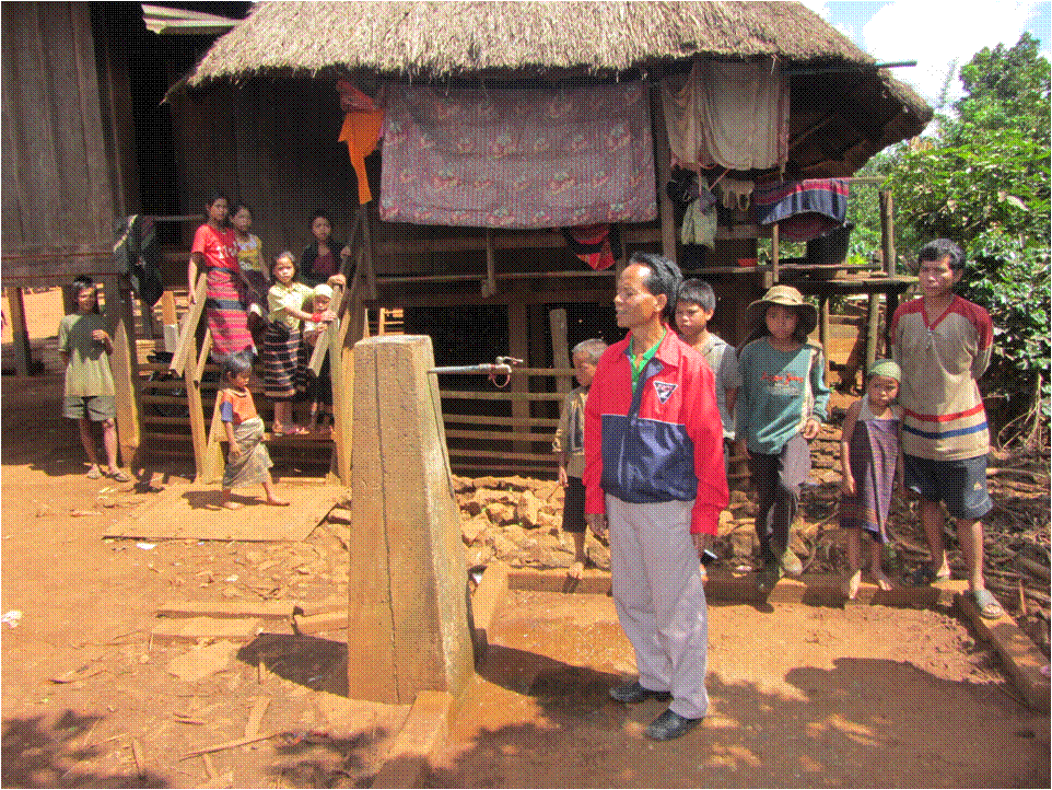
Socially-inclusive tools of project identification will ensure that the different vulnerabilities of target populations in a changing climate are tackled and climate-sensitive district budgets are elaborated and their execution monitored. This newly acquired expertise will facilitate the delivery of grants to implement climate resilient small scale infrastructure, benefitting 50,000 people, linked to the well-established UNDP/UNCDF supported block grant mechanisms (District Development Fund). This will further strengthen local governance and administrative systems for better planning, budgeting and implementation services.
Environmental sustainability and project integration will be achieved through measures to protect ecosystem functions in the immediate vicinity of physical infrastructure covering 60,000 hectares, enhancing capacities to regulate water flows and ensuring greater financial viability and social impact overall.




ProDocs
Project Document: Effective Governance for small-scale rural infrastructure and disaster preparedness in a changing climate. Lao PDR, 2012.
Lao People’s Democratic Republic (PDR) is amongst the poorest and Least Developed Countries (LDC) in Asia and in the World. The UNDP Human Development Report 2011 ranked Lao PDR at 138 out of 187 countries in the Human Development Index (HDI) in terms of comparative measure of life expectancy, literacy, education, and standards of other countries worldwide. A major factor contributing to this high ranking is that more than 80% of Lao PDR’s population depend on natural resources, agriculture and forestry production as a main source of income , while the productivity of that sector, which accounts for only 30% of Lao PDR’s Gross Domestic Product (GDP) remains low.
Poor infrastructure development in agricultural production, accessing markets, the supply of water for irrigation and domestic purposes, poor access to education and health facilities collectively contribute to high poverty rates and low development progress in Lao PDR. Only 17% of national rice production is derived from irrigated fields along the main streams. There is potential to increase the production of irrigated rice, especially through small-scale irrigation in uplands, which currently plays a minor role. 31% of the rural population still have no road access to markets and public utility services . The World Health Organisation estimates that since 1995 there has been a significant increase in the percentage of the rural population with access to water from an improved source – from 37% to 51% in 2008. Access to both education and health facilities by 84% of the population is showing improvements in development standards . However, the low quality of associated services continues to contribute to poverty and remains to be improved.
Good and effective governance is a precondition for changing the service delivery situation and for achieving equitable and sustainable economic growth as laid out in the 7th National Socioeconomic Development Plan. It is expected that, with the support of the UN system, especially the poor and vulnerable will benefit from improved delivery of public services and greater participation in transparent decision-making by 2015 . This participatory approach applies also for initiatives that link climate change adaptation, disaster risk reduction and public service delivery.
Such an integrated approach is required since service delivery in MDG relevant sectors such as public health, education, water supply, sanitation and agricultural production has been a great challenge in the past due to existing current climate variability’s between dry and wet seasons. As an example, the flow of the Mekong at Pakse in Southern Laos is characterized by a mean difference in monthly discharge between driest and wettest seasons which is almost 15 fold. Therefore local communities and the public investments that support them already have to deal with a challenging water resource context, in which localized natural disasters linked to flooding, landslides and drought are common.
Stresses on livelihoods within current climate variability will further increase due to climate change. The available climate science indicates that dry seasons are likely to increase in length in Lao PDR while wet season rainfall will occur in even shorter, more intense intervals. Analysis of historical rainfall data for the country indicates a clear trend towards more high intensity events when comparing the period from 1901 to 1953 with the period from 1953 to 2006. Recent vulnerability and adaptation analysis indicates that there has been an increase in the number of climate hazard related events (such as floods) over the past 20 years as opposed to the preceding 30 years. This is confirmed by MRC data which has identified a clear increase in the number of extreme flooding events across the country when comparing pre and post 1986 data. Further Lefroy (2010) states that while the incidence of tropical storms and hurricanes is very variable, there is evidence that the number and intensity of storm events has increased significantly in the last few decades of the 20th Century and that this trend appears likely to continue and increase. For the future annual precipitation for the Mekong region as a whole is projected to increase by 13.5% by 2030, with most of this occurring during the wet season (May – September). While projected changes in dry season precipitation are likely to be smaller, significant decreases are possible in February and March as well as in November. The drier extremes of current projections indicate decreases of up to 25% against historical values. Use of macro-scale hydrological models for a range of emission scenarios for Lao PDR indicate that, in the future, many of its sub-basins are likely to experience higher discharge (NAPA, 2009).
Output 1.1: Technical capacity in climate resilient planning, focusing on links between improved ecosystem management and sustainability of investments in small scale rural water infrastructure, enhanced for at least 250 national, province, district and village officials, as well as other community stakeholders. This output is designed to enable all other project Outcomes and Outputs by building in the necessary understanding of climate risks to strengthen local development planning from the project outset. The approach taken will be to build directly on the initial capacity assessment carried out during the PPG phase, and convert this into a detailed and fully costed capacity development plan. It will also provide a key collaboration point with the baseline ADB supported IWRM programme which is providing capacity development for IWRM at both national and province levels, largely the same audience of individuals.
Output 1.2: Village level water harvesting, storage, and distribution infrastructure adaptation solutions (with associated ecosystem management options) identified, prioritised and integrated into district development plans. This output supports the annual planning exercise carried out by the District Development Support Committees. It will provide technical and organisational inputs to be arranged and delivered by MONRE and its province and district level structures. It will help districts to secure an additional financial envelope for climate resilient investments, which will be delivered annually to districts bank accounts set up under Outcome 2. It will also provide the starting point for more detailed subsequent field analysis through CRVA, to be carried out under Outputs 1.3 and 1.4. While these are not mandatory investments they demonstrate the most likely areas for climate resilient investment and districts may choose for some to be carried forward into detailed design, as presented.
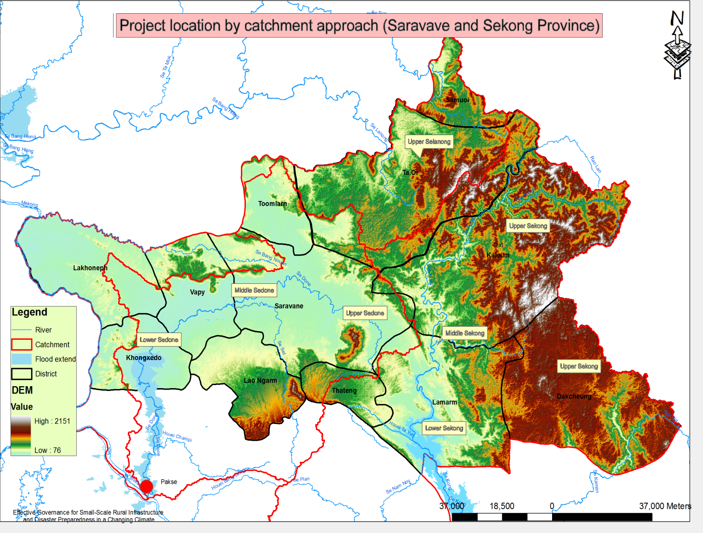
Output 1.3: Climate risk, vulnerability and adaptation assessments (CRVA) carried out at 48 project sites in 12 districts of Sekong and Saravane provinces and proposed climate resilient investments adjusted to take account of site specific adaptation concerns. This will support the detailed engineering design of the approved climate resilient investment projects. A fundamental premise is that adaptation solutions are location specific. While there is some value in generic or ‘model’ solutions they will always need to be fine-tuned to physical, environmental and social realities on the ground. In some cases this will lead to an adjustment upwards in financial resources. In all cases the process of introducing and revising an approach via CRVA, will increase local ownership and ultimately the long term sustainability of the investment.
Output 1.4: Detailed climate resilient project investments finalised and tender documents prepared in 12 districts, as well as associated dialogues to facilitate the implementation of annual district investment plans in 12 districts. Following on from fine tuning and building local acceptance and ownership, so investments will need to be tendered to contractors for which additional professional technical services will be required. In order cases this expertise will be found at the community level and the resources can be channelled directly from the district level against an agreed workplan and set of deliverables.
Output 1.5: Guidelines for climate resilient construction for small-scale rural infrastructure sectors (irrigation, water supply, rural roads, education, and health) developed, applied and revised. These guidelines will be presented in various policy forums with the intent of contributing to future adjustments to national standards that are applicable. The reforms of national standards are seldom made on the basis of the outcomes of a single project, however successful that project may be. The success of this output will therefore depend upon the extent to which a broad range of experience can be gathered together, and national champions can be identified to support a reform process.
Output 2.1: An incentive mechanism, rewarding districts performing well in planning, budgeting and implementation of climate resilient, ecosystem based small-scale water infrastructure is developed, tested and under operation to drive the delivery of LDCF climate resilient infrastructure grants. This output will result in the tailoring and extension of a pre-existing local development fund mechanism (the District Development Fund) to incorporate all the necessary skills, and capacities to channel and report on additional climate adaptation funding through national systems. Through this approach the project seeks to ensure that the project can be easily replicated in other districts and can provide a means to access and channel other public resources in the future, both national budgetary resources and international funds.
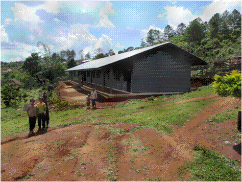
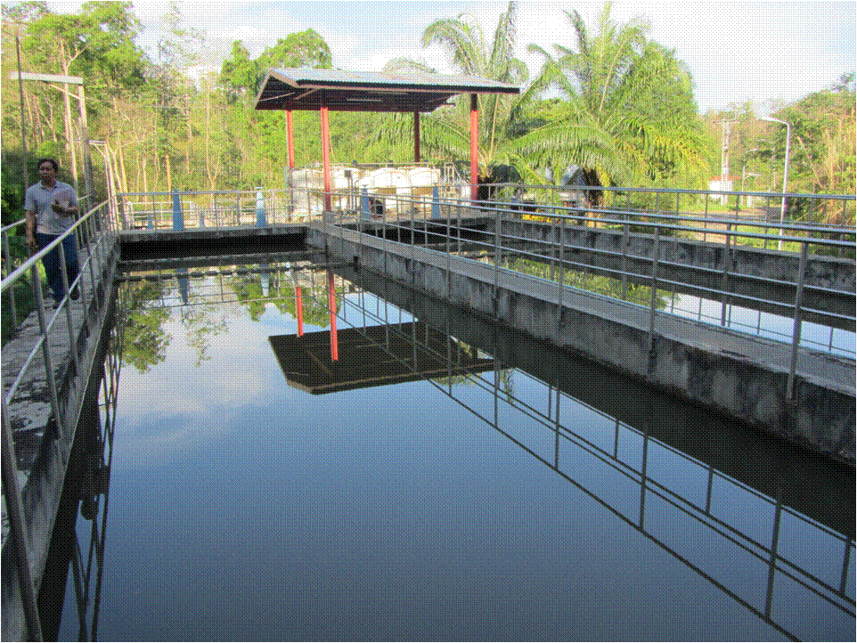
Output 2.2: At least 48 small-scale infrastructure investment projects (1 per district per year), including components of water harvesting, storage, distribution and/or irrigation of the priority lists that have been CRVA assessed are implemented benefiting 50,000 people. Output 2 will follow a phased approach. In the first year 12 infrastructure investments will be selected from the V&A report (Annex 8) for further analysis and funding, applying the detailed CRVA approach. From the second year onwards the selection of investments will follow the same technical approach (V&A and CRVA) but influenced also by the newly established performance based mechanism leading to differing levels of financial allocation from one district to the next.
Output 3.1: Up to nine ecosystem management and action plans with a coverage of at least 60,000 Ha to protect 48 small-scale climate resilient rural infrastructure projects are designed, implemented and monitored for effectiveness. The management and actions plans, which will include budgeted field based activities, will be developed during Year 1 and progressively implemented from Year 2 onwards through specific interventions on the ground, which will be selected and designed using the existing local planning dialogues and structures. This work will be carried out in close coordination with the ADB-IWRM planning being carried out for Sekong River Basin in the South.
Output 3.2: Awareness-raising activities implemented, learning materials developed and disseminated and regular dialogues held between communities and tiers of the local administration on the linkages between ecosystems management and small-scale climate resilient infrastructure solutions. The main aim of this output will be to provide clear guidance and direction on how ecosystem based approaches can be integrated into local development planning, using infrastructure investments as a starting point. The opportunities for achieving this are likely to vary considerably from one district to the next depending on prevailing land use and management practices. This Output will need to be delivered in parallel with Output 3.1 since it underpins the development of the ecosystem management and action plans. Much of the work will involve motivating local officials and other stakeholders to visit specific sites, view problems on the ground, and jointly identify solutions. The frequent repetition of this approach each year of the project will induce behavioural changes in the way planning is carried out, through the integration of more evidenced based information and through the involvement of a wider range of stakeholders in formulating and agreeing local plans. This work will build directly on the national water dialogues that have been carried out by MONRE with support from IUCN.
More information to come...
'Stronger Together: Exchanging ideas on managing the source of life' - UNDP Lao PDR, June 5 2017.
'Climate change awareness integrated into local planning and national legislature' - Relief Web, December 24 2015

Climate-resilient development & enhanced adaptive capacity for disaster risk in Angola’s Cuvelai River Basin
The Cuvelai Basin has experienced regular flooding for centuries; however over the past three hydrological years (2008-2011) the Basin has had extensive floodings with various negative repercussions, including loss of life and property. According to the Angola Civil Protection Commission, at least 234 persons were killed, 204,000 displaced and 254,000 directly affected by flooding between January and April 2011 throughout Angola. The Cuvelai Basin region was especially impacted. Heavy rainfall made access to communities difficult, with some areas only reachable by air. At the same time, many years in the Basin are extremely dry. Almost all rain falls in the summer months and the further south in the Basin the more unpredictable the rainfall; this is typically the area where the most extreme droughts occur. The driest among these in recorded history have led to catastrophic famines, the most disastrous of which resulted in the deaths of up to 40% of the people in the Basin. Moreover the timing of summer rainfall within one summer may be so erratic that crops fail, even if the total aggregate amount of rainfall received is high.
The activities in this project are solely focused on the Angolan side of the Basin. Namibia started its basic monitoring systems (and disaster early warning systems) in the 1940s and is one of the countries in SADC that has a wide range of monitoring data available. The Namibian Hydrology Division in the Department of Water Affairs and Forestry (DWAF) continuously monitors the stream flow on the major rivers in Namibia, including those within the Cunene River Basin; it has river water level stations in operation at Ruacana and Epupa on the Cunene River; and operates river gauging stations (Ombuku, Minimahoro) on the ephemeral tributaries of the Lower Cunene River. Whereas almost every homestead in the Namibian side of the Basin can be reached along roads or tracks that are clearly visible on Google Earth images, the same images show that most homesteads on the Angolan Cuvelai have never or seldom been visited by vehicles. Moreover the great majority of livelihoods in the Angolan side are subsistence-oriented and dependent on rain‐fed agriculture whereas the Namibian inhabitants of the basin are much less vulnerable to climate-induced shocks.

PIFs
PIF: Promoting Climate-Resilient Development - Cuvelai River Basin, Angola. 09 Oct 2012
As noted in the opening of a ground-breaking study published in 2011, the “Cuvelai is different!” It is not a delta nor a river nor an alluvial fan. The Cuvelai Basin is perhaps unique in the world as a drainage system that consists of hundreds of channels that join and separate thousands of times. It has a geographical area of 159,620 km2 split between Angola and Namibia, extends over 450 kilometers from north to south and covers more than half of the Province of Cunene in Angola. Slivers of the Cuvelai Basin also lie within the Angolan provinces of Cuando Cubango and Huila. Part of Cuvelai’s water comes from the headwaters on the southern slopes of the Angolan highlands but most channels begin as broad courses right along the Cunene River. The Cunene River is 1,050 km long and is one of the few perennial rivers in this region with a mean annual discharge of 5.5 km³ at its mouth. Local rivers provide water to these channels (called iishanas) that mesh, network and divide on their way downstream to the famous Etosha Pan. For much of the year, most channels hold no water and fill only after summer rains. Rainfall in the northern-most catchment area averages about 900 mm per year, just over double the historical average of 400 mm in the south. Compared to surrounding areas the Cuvelai Basin is home to a very large number of people, largely because of the presence of shallow groundwater and relatively fertile soil in many areas. Among the many livelihood activities practiced by local people are rain-fed agriculture and livestock-raising, principally cattle. The borderland of the Basin is clearly visible from space due to the fact that there have been considerably higher rates of deforestation on the Namibia side compared to the Angola side.
This project specifically focuses on support for NAPA priorities 7 (Create an early warning system for flooding and storms) and 13 (Climate monitoring and data management system). These two NAPA priorities are intricately linked (and have therefore been bundled together for the purpose of this project) since establishment of a comprehensive famine and flood early warning systems (FFEWS) – including downscaled seasonal forecast delivery systems – is one key component of a more broad-based climate monitoring and data management system, which also includes climate information dissemination and capacity-building. As the NAPA notes, there is “insufficient climate monitoring infrastructure in Angola and as a result, early warning is nearly impossible in the country.” Agricultural planning and extension is also made difficult due to the lack of appropriate seasonal forecasts and climate monitoring information; even if systems are established the data must be shared with key stakeholders at the local level to develop appropriate site-specific responses, such as distribution of flood-resistant seed varieties.
In addition to responding to these NAPA priorities as classified on a sectoral level, the project has been specifically designed to address the specific needs of a particularly vulnerable region of the country: the Angolan portion of the Cuvelai River Basin and more specifically the Province of Cunene (see Section B). In an effort to better understand the different dimensions of vulnerability across the whole country, as part of the NAPA formulation process it was decided to divide Angola into various geographic areas in which each one represented a type of vulnerability. In each province, consultations took place at 4 different levels: with local authorities, non-governmental organisations, private sector entities as well as the population of specific locations providing evidence as to the types of vulnerability in a certain area and providing input into a list of context-specific adaptation priorities.
The province of Cunene was chosen as the NAPA priority province for “integrated vulnerabilities” due to a rare confluence of factors that classify it as the most vulnerable province in the country as regards significant climate-induced risks, particularly as it applies to what was identified as the highest ranked topical threat in the NAPA: flooding and water-induced soil erosion. Thus the populations who will most directly benefit from this project are those that are most vulnerable to floods and other disasters due to the risks factors identified in the NAPA.
Finally in line with LDCF guidelines the project is based on a learning-by-doing approach. Angola has recently emerged from what was one of Africa’s most protracted conflicts. The civil war between 1975 and 2002 resulted in the destruction of infrastructure and the breakdown of institutions of all kinds. The ability of the Angolan Government to maintain an administrative presence and collect and monitor data of all kinds during this period was also negatively impacted by the war. The primary geographic focus of this project – the Cuvelai River Basin – was one of the regions most affected by the war and remains poorly understood by both development practitioners and climate experts, both as regards its basic geography (climate, soils and hydrology) and socioeconomic characteristics. In many Angolan provinces there has been almost no donor presence until recently. At the same time decentralization, or the delegation of administrative and fiscal responsibilities to sub-national units of government, is slowly taking place in Angola albeit at a slow and uneven pace; much information gathered at national levels still does not reach local authorities. This particular project involves several layers of government – from national entities to provincial and municipal level authorities – and builds on a variety of recently proposed initiatives that seek to address the complex climate-related challenges facing this critically important trans-boundary wetland. As such this project will by default need to assume a rigorous adaptive management approach and adopt a learning and information-sharing orientation from the onset, with the potential to indirectly benefit a much larger population than just its intended beneficiaries and hopefully inform the development of similar multi-stakeholder efforts in other provinces of the country. The GoA, in partnership with USAID efforts, will seek to communicate all relevant findings, conclusions and recommendations to neighboring governments as well as SADC experts on climate‐related disasters.
Component 1: Transfer of appropriate technologies and related capacity building for climate and environmental monitoring infrastructure
• Establishment of a comprehensive famine and flood early warning systems (FFEWS), including downscaled seasonal forecast delivery systems, that take into account climate change induced drought and flood events in the Cuvelai Basin
• Procurement and installation or rehabilitation of at least 3 gauging stations and at least two hydrometric stations in the Basin
• Procurement and installation of satellite monitoring equipment
• Training of at least 5 officers in the Provincial government and Civil Protection to operate and maintain climate monitoring infrastructure
• Strengthen the Civil Protection’s capacity for assimilating forecasts and monitoring into existing development planning, and disaster management systems, including the provincial contingency plan.
• Communication channels and procedures for issuing warnings (through both governmental and non-governmental agencies) are enabled (e.g. radio, newspapers, mobile phones, television etc).
Component 2: Enhanced human and institutional capacity for increased sustainable rural livelihoods among those communities areas most prone to flooding in the region.
• Livelihoods assessment conducted of the spatial density and location of all smallholder farming communities in the Angolan side of the Basin that are vulnerable to climate impacts
• Establishment of online registry of vulnerability data and population density from assessment
• Identification of of locally appropriate, climate-resilient germplasm resources for the Basin from the National Plant Genetic Resources Centre (CNRF) database
• Establishment of at least three demonstration plots in the Basin for climate-resilient crop varieties
• Dissemination of climate-resilient seed packets (from CNRF database) for multiplication to smallholder farmer groups , leading to improved yields and food securty indicators
Component 3: Increased understanding of climate change adaptation and practices in climate-resilient development planning at the local community and government levels
• Updating of Province of Cunene Master Plan as regards best practices in climate-resilient development planning
• All Civil Protection officials in Province receive training on climate change impacts and adaptation measures
• Awareness raising campaigns about climate change impacts on watershed resources and on human activities undertaken at village level in 300 sites
• Case studies developed and disseminated that capture traditional knowledge about climate change management at local leve
• Development and annual dissemination of micro-seasonal maps of adaptability of different climate resilient crops to all Provincial rural extension agents
The implementation of the project’s activities will reflect UNDP-GEF monitoring and evaluation standards and procedures, in line with the requirements of the LDCF. Details for monitoring and evaluation will be articulated during the project development phase.
More information to come...


